Safe & Fast APK Downloads on APKPure
APKPure uses signature verification to ensure virus-free NSW Survey Marks APK downloads for you.
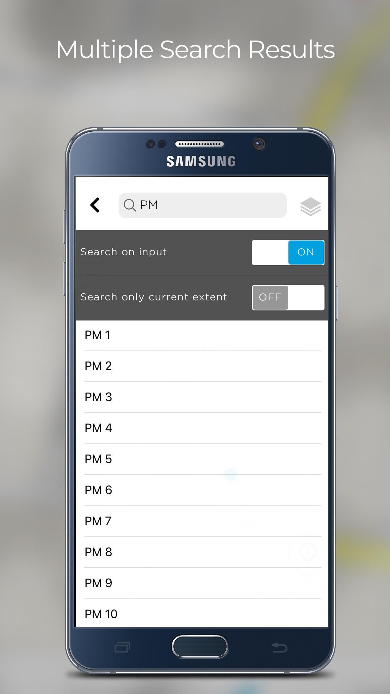
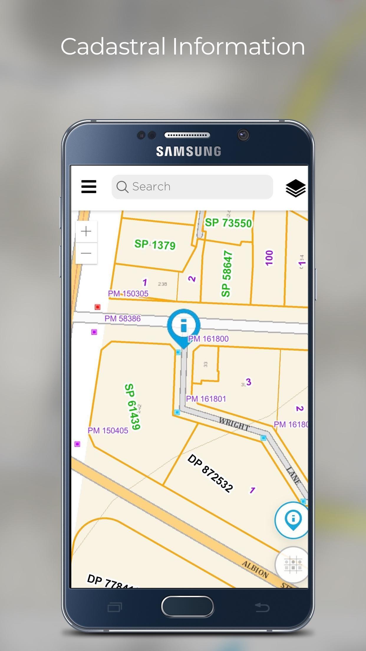
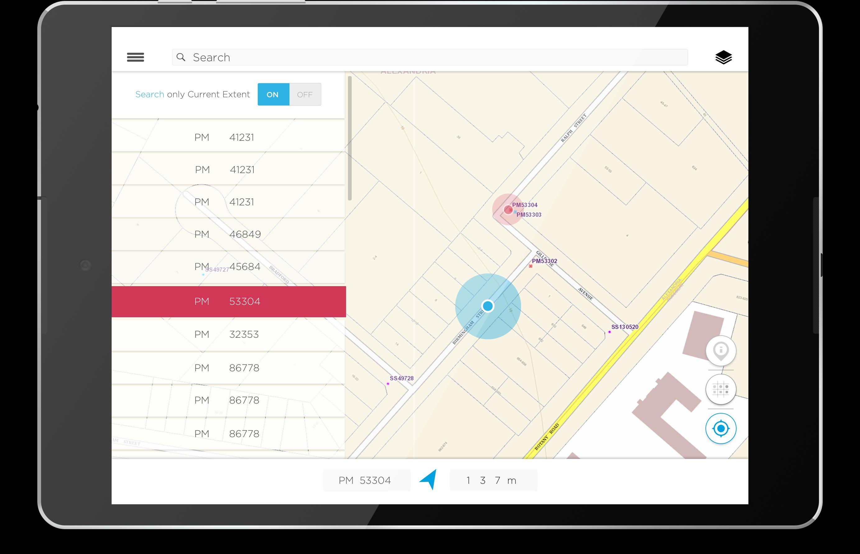
Allows users to search, view survey mark location and details or report status.
DCS Spatial Services updated the NSW Survey Marks app in July 2020.
The app is open to the public, however, the target customer base are surveyors and members of the spatial and construction industries.
The App allows users to:
• Search and/or view the location of survey marks against various NSW base maps and imagery
• View and download the locality sketch plan of a survey mark
• Report back to DCS Spatial Services regarding the status of the mark, such as found intact, not found, damaged, destroyed etc. including photos for evidence.
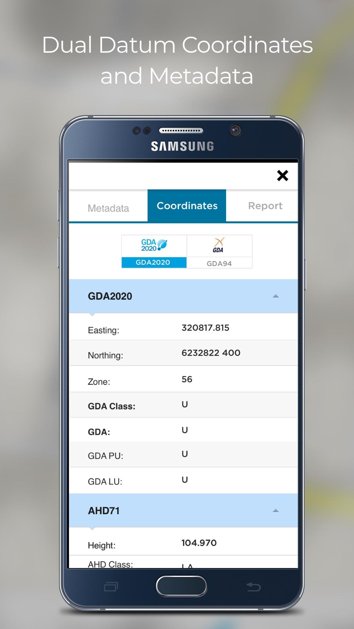
New functionality enables users to view published coordinate values, in either GDA2020 or GDA94 datums, of permanent survey marks, including metadata such as accuracy and status.
Customers can be assured of ongoing app updates to ensure that the app keeps up with new hardware and software technology.


One-click to install XAPK/APK files on Android!
Thanks for your rating and feedback!
You have already rated.