“Matcheli Vayrer”是一個互動地圖,標明到達的地方。
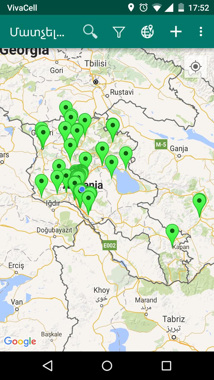
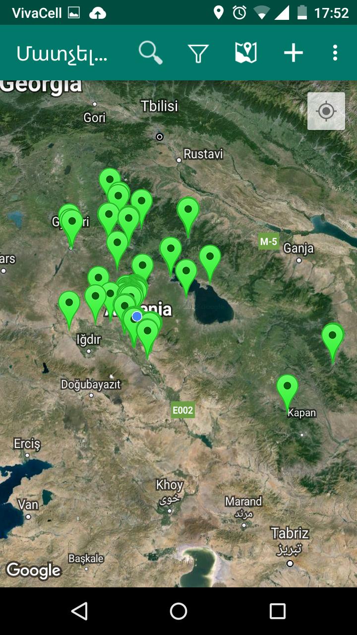
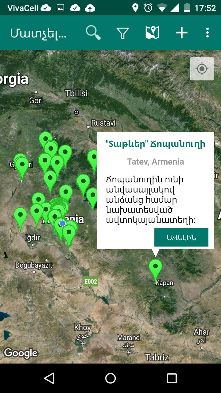
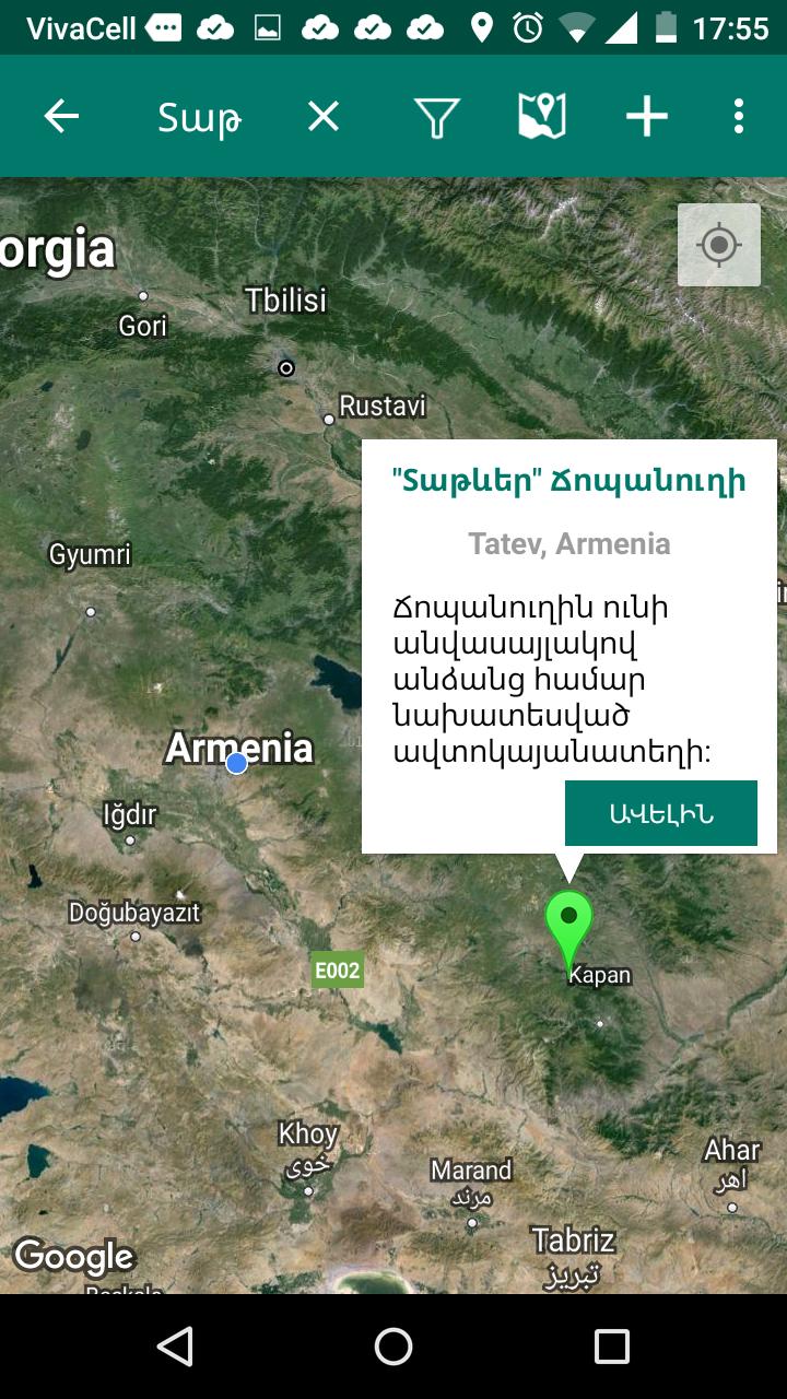
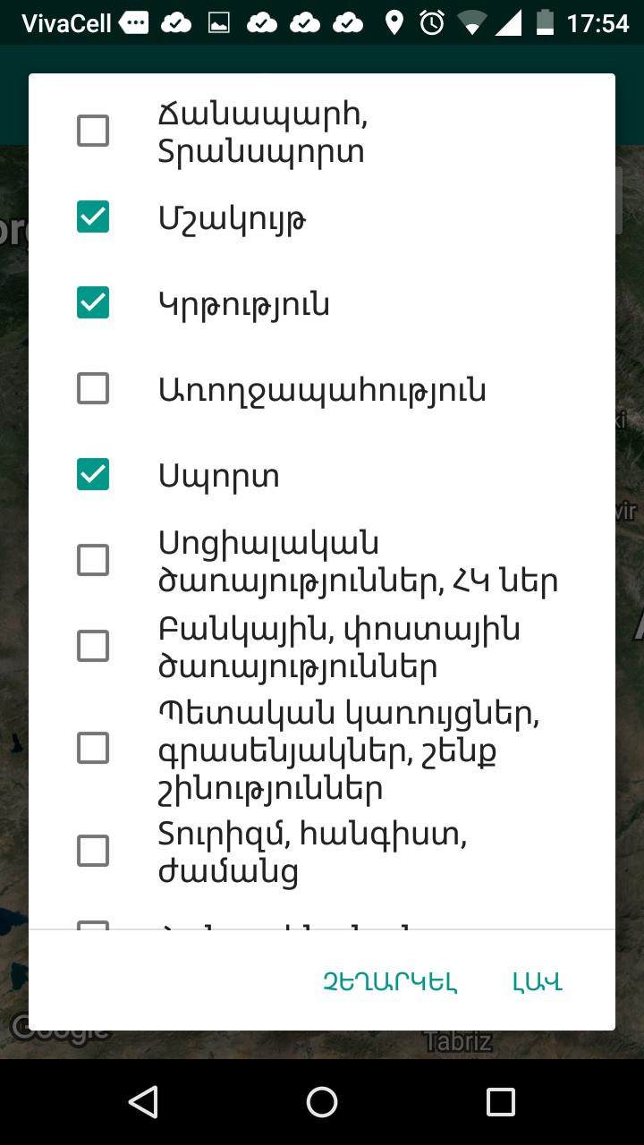
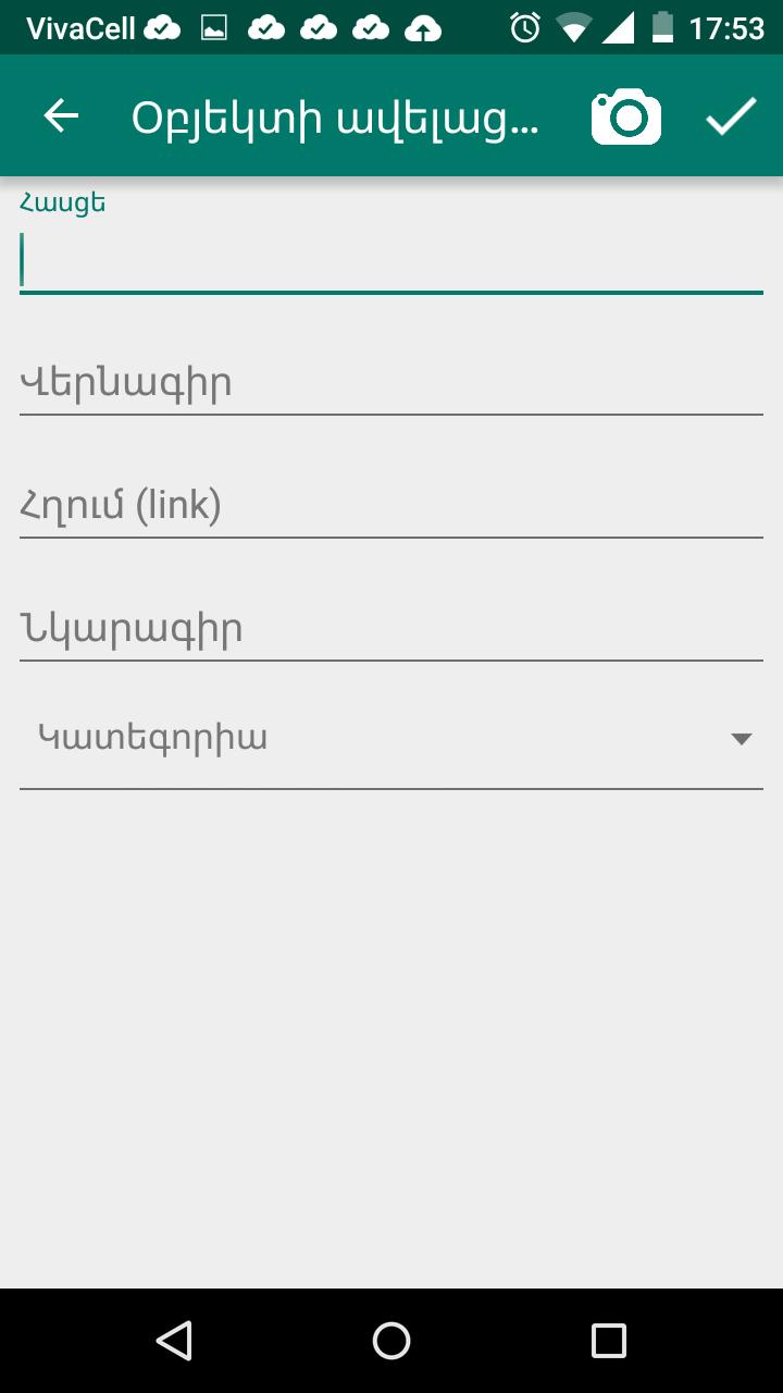
"Matcheli Vayrer” is an interactive map indicating accessible places, locations and urban infrastructures. It can help people with disabilities to easily get information about the accessibility of urban infrastructures they are interested in and benefit from them without personally observing and testing them beforehand.