এপিকিপিউর এ নিরাপদ এবং দ্রুত APK ডাউনলোড
APKPure বিরুদ্ধ সংকেতচিহ্ন যাচাইকরণ ব্যবহার করে আপনাকে ভাইরাস মুক্ত India Atlas APK ডাউনলোড উপলব্ধ করানোর জন্য।
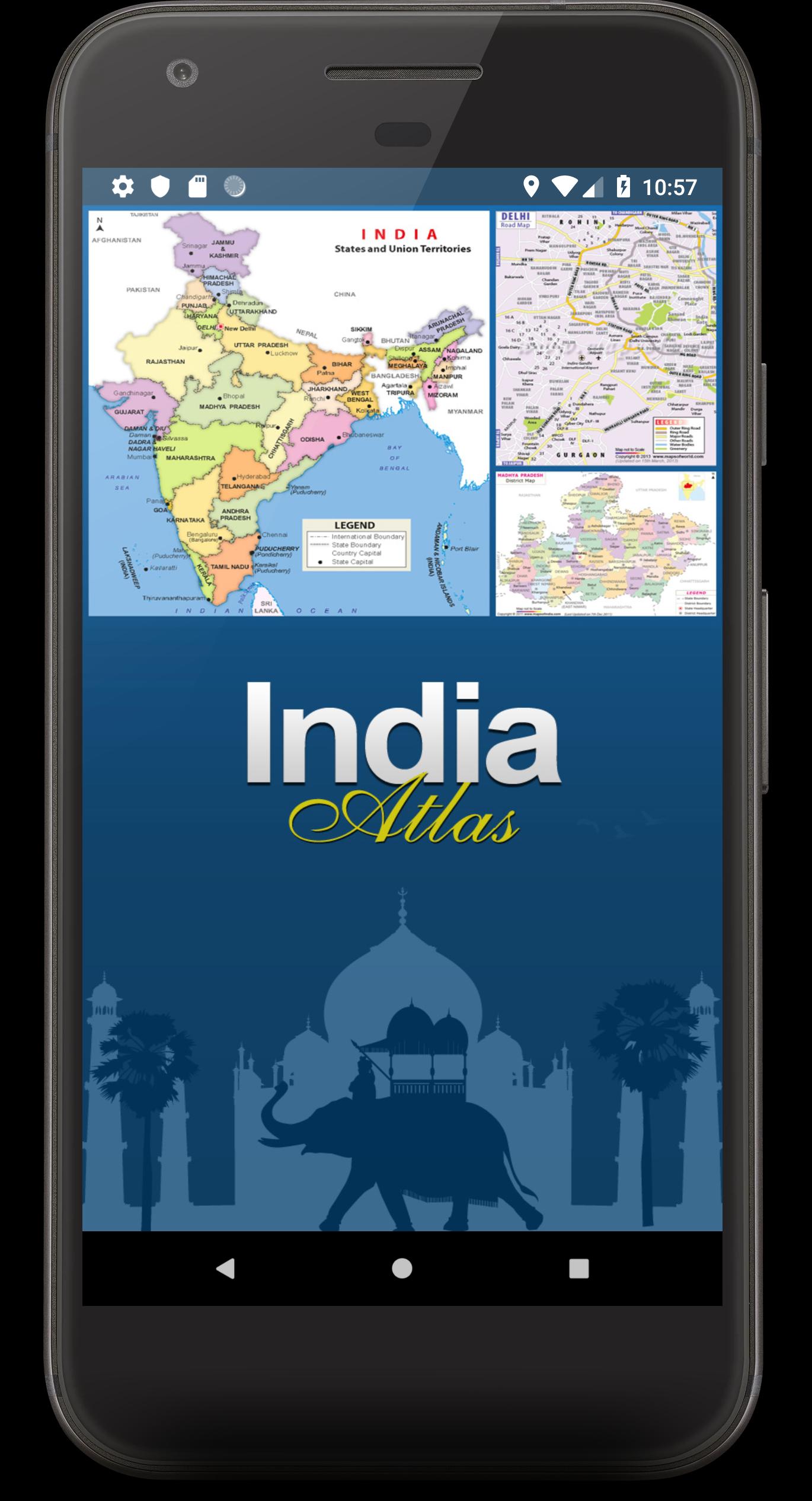
Presenting India Atlas by mapsofindia.com
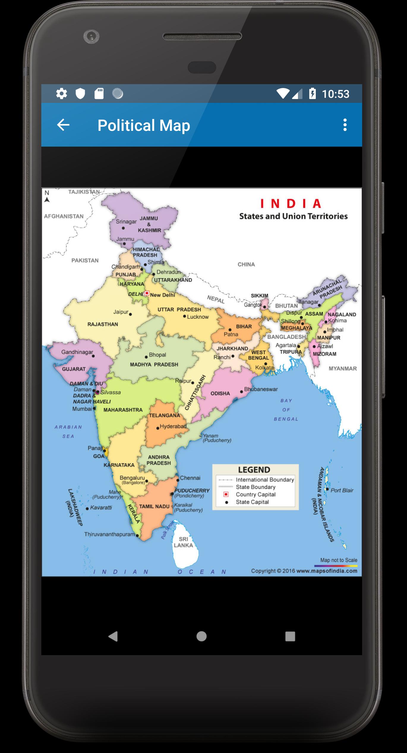
mapsofindia.com presents India Atlas with High quality States and District maps. India Maps are available in 8 views for your use including Physical, Political, Geographical, River, Railway, Tourist, Outline and Blank Maps.
These can be zoomed to the district level if you are on a WiFi or a 3G internet connection. You can also print or save these maps once they are loaded on your device.
The Application has following features-
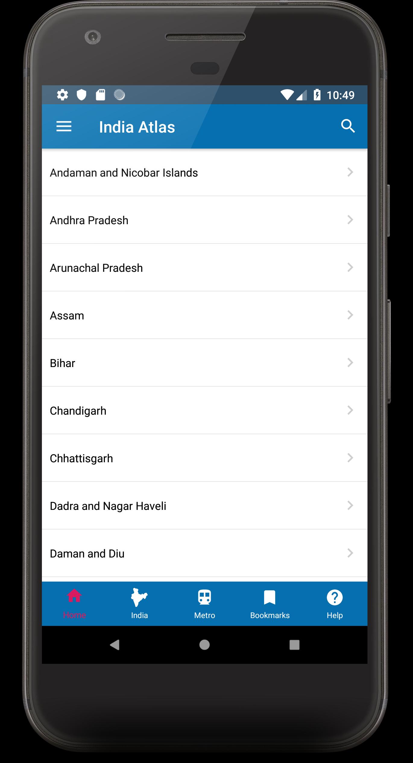
-Discover state and district maps of India with a single tap
-Explore metro train route maps of the major cities
-Print any map on screen through a Wireless Printer
-Save the map on screen to the device's internal storage and use as required.
-Share the map through various Social Media sites from the app itself. (Individual Apps needs to be installed)
-Bookmark your favorite map for future reference and for easy navigation
-Search for State or for a district from the on screen search bar. Just type in the name and the list is populated instantly
-Use gestures to browse through the maps. Pinch to zoom the maps in and out.


Android-এ XAPK/APK ফাইল ইনস্টল করতে এক-ক্লিক করুন!
আপনার রেটিং এবং প্রতিক্রিয়া জন্য ধন্যবাদ!
আপনি ইতিমধ্যে রেট করেছেন।