Downloads seguros e rápidos de APK no APKPure
O APKPure usa verificação de assinatura para garantir downloads de APK ISCDL GIS Survey App sem vírus para você.
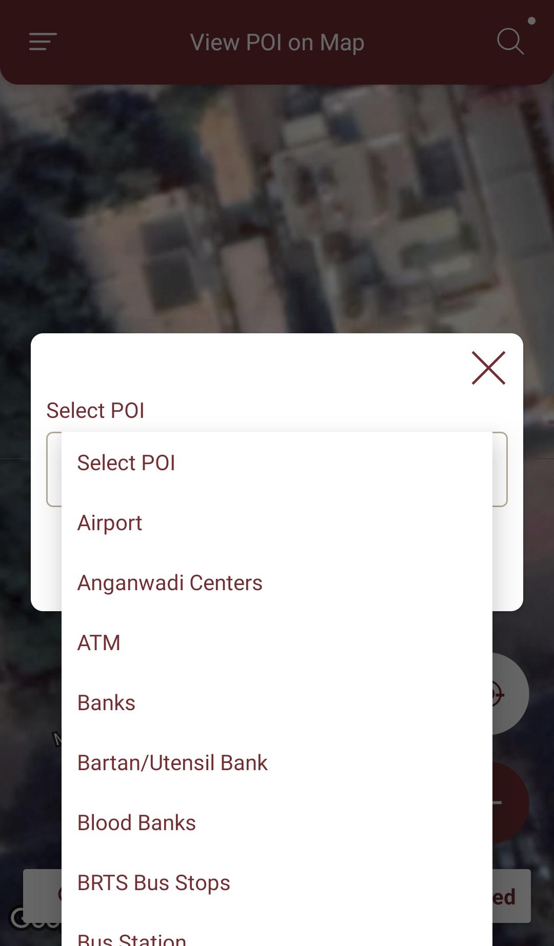
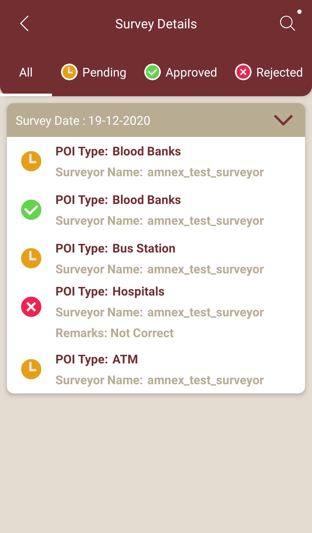
Levantamento GIS, manuseio de dados, coleta de dados para ser mais rápido e eficiente
ISCDL GIS Survey mobile application meant for GIS survey, GIS Data handling, data collection. It allows Professional surveyors and department users with an opportunity to collect more accurate survey data in a stipulated time frame both online and offline. This app will be useful for GIS data collection to be faster and efficient.
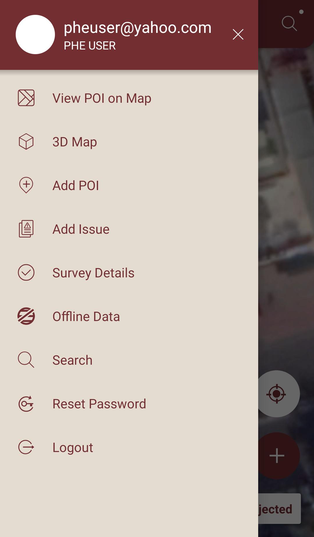
Application Features :
• Offline data collection and updating
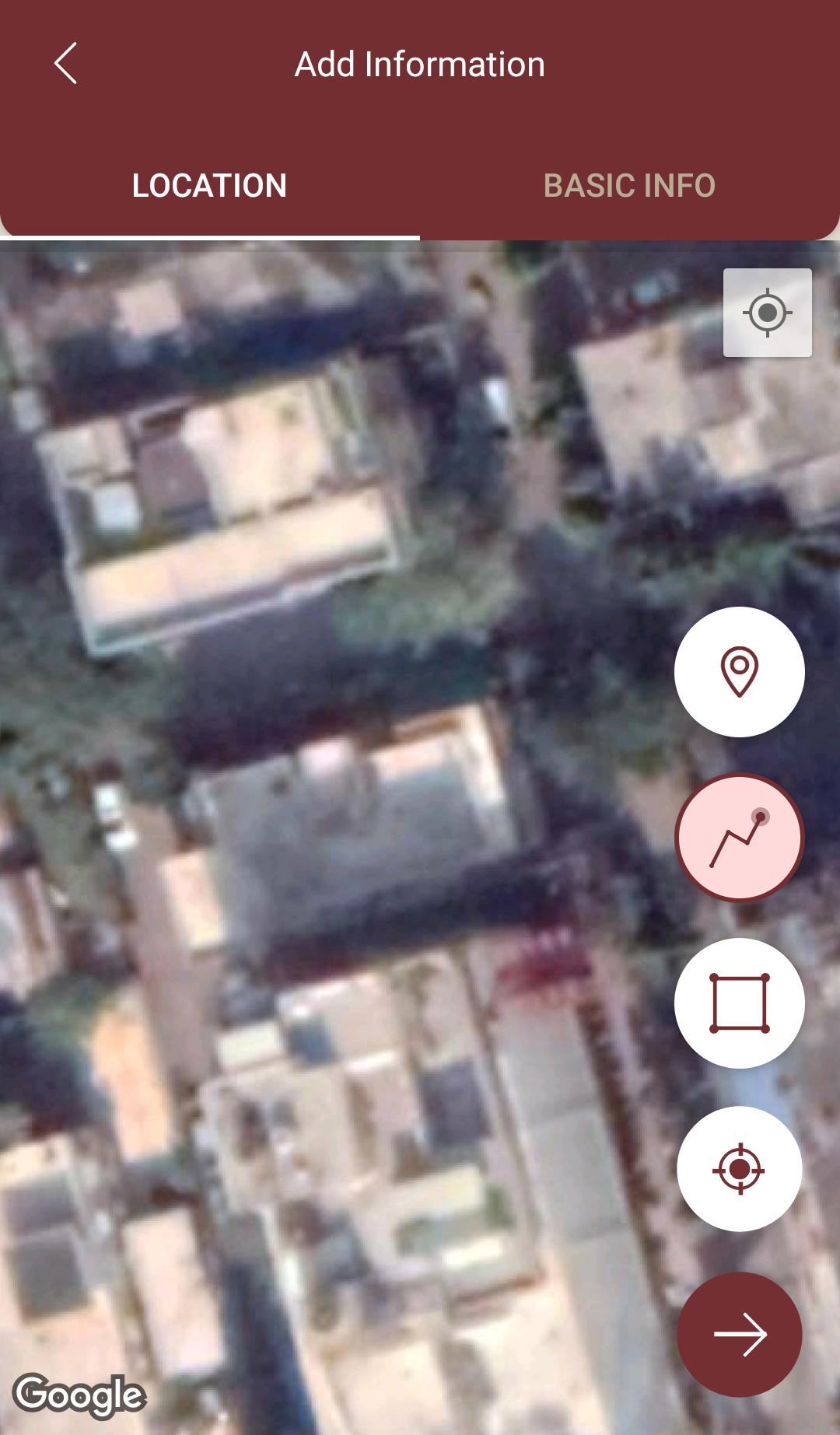
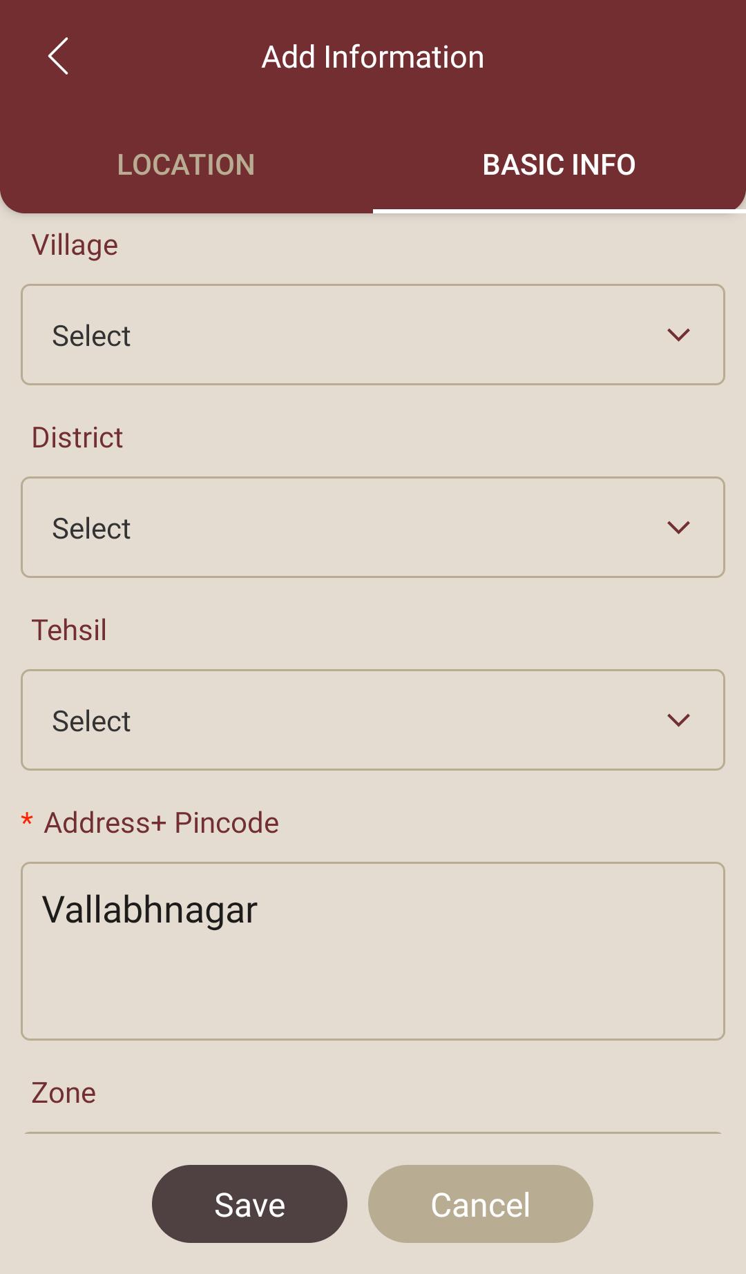
• Saving Locations with current or arbitrary position
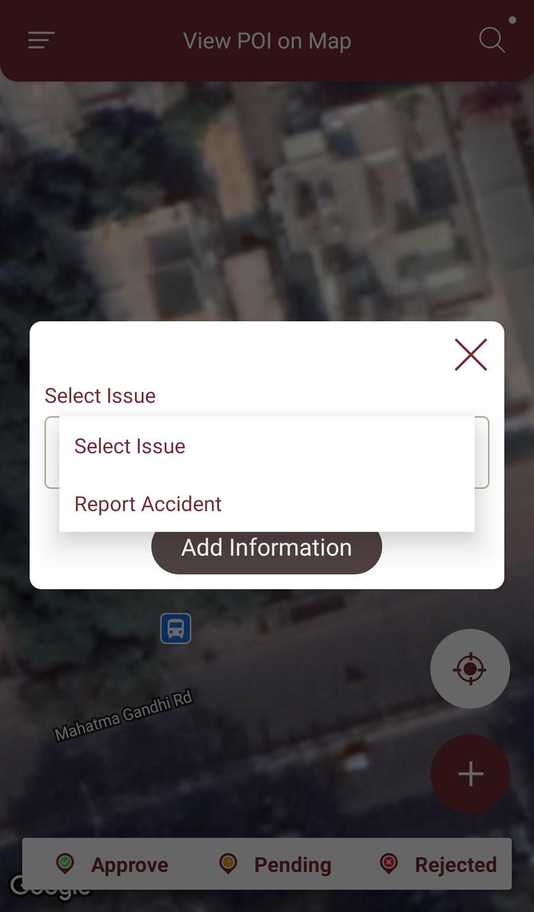
• Create new Polygon and line features and measure details like area and length.
• Photos, video/audio or drawings as attachments
• Collected data can be view on 2D & 3D Base map
• Report an emergency incidence to authority
Supports Android OS 4.4 and above
The application is made ads-free and hence it will increase your productivity. If you have any problems in installing or downloading or if you face any kind of issues with the application functionalities kindly raise the issue at :
https://citymap.smartcityindore.org:8443/IndoreSmartCityWeb/


Um clique para instalar arquivos XAPK/APK no Android!
Obrigado pela sua classificação e feedback!
Você já classificou.