
Paketname:com.snapflood
Mehr anzeigen

Snap the floods you witness, upload images/videos, and view a live flood map.
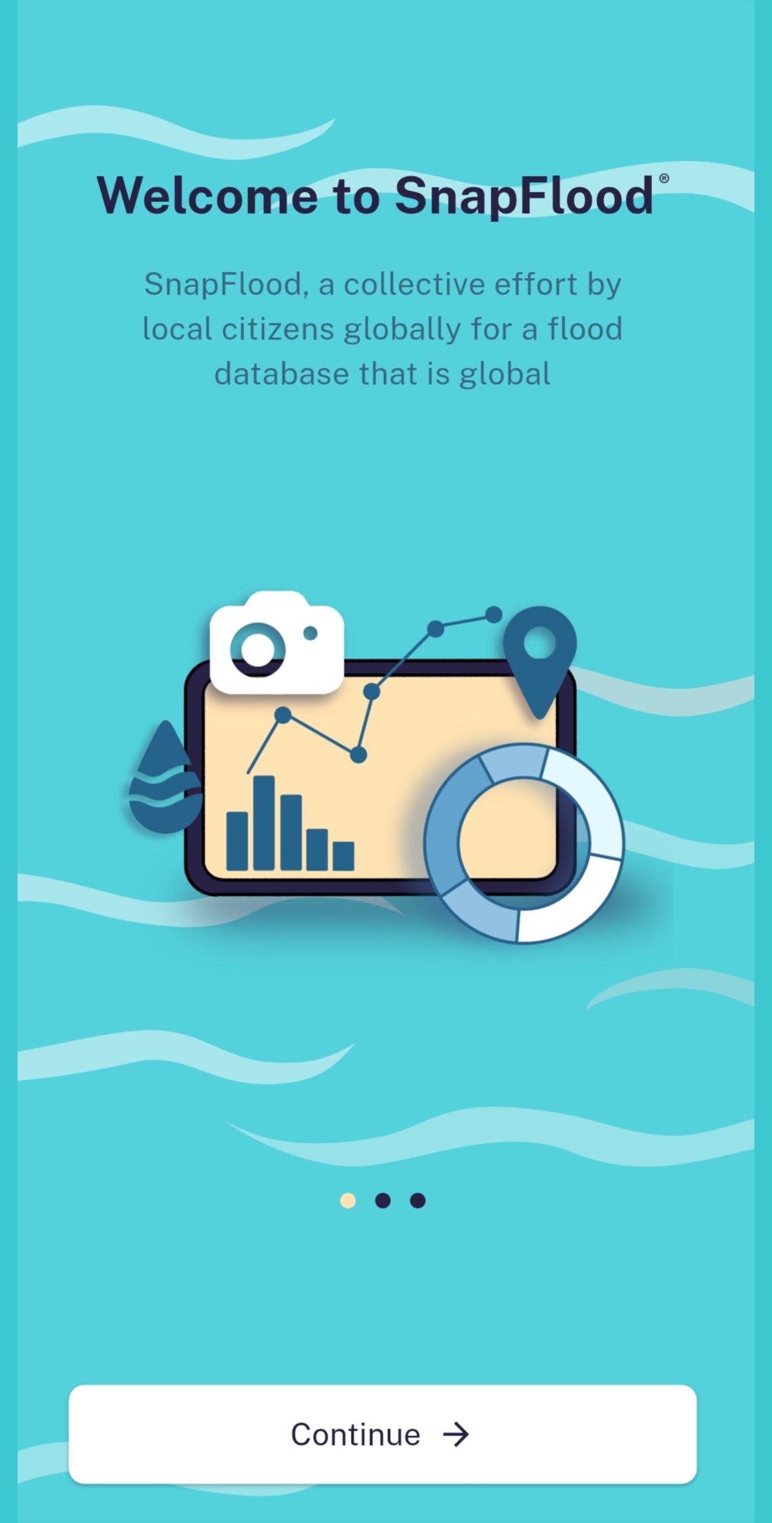
SnapFlood is a citizen science app that enables people to quickly capture and upload photos and videos of urban floods. The app helps document when and where floods occur, along with their severity, by building a real-time archive of flood-related images and videos. This growing database can support scientific research, engineering solutions, and policy decisions, while also helping municipalities respond more effectively during extreme weather events.
The app has been developed by the RAFT (Rainfall-runoff Analysis and Forecasting Tools) group at IIT Hyderabad. The idea originated in 2019 during a project funded by the Government of India's Department of Science and Technology (DST-SPLICE, Climate Change Programme), National Network Programme on Urban Climate (NUC), under the National Mission on Strategic Knowledge for Climate Change (NMSKCC). Earlier efforts were also supported by the Government of India's AI CoE for Sustainable Cities project.
With SnapFlood, anyone can "Snap the Flood" safely and contribute to building a valuable flood archive for science, engineering, and policy.



Ein Klick zur Installation von XAPK/APK-Dateien auf Android!

Vielen Dank für Ihre Bewertung und Ihr Feedback!
Sie haben bereits bewertet.