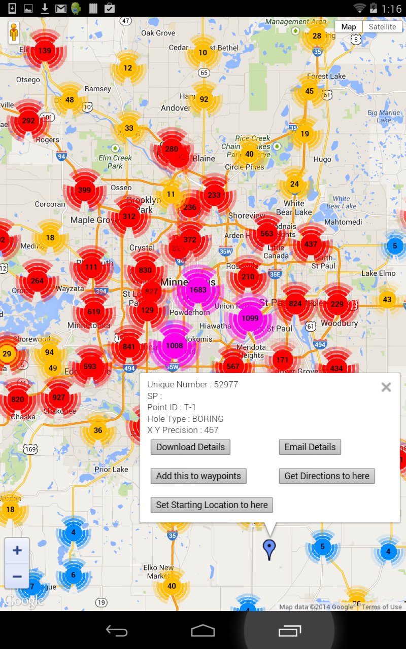
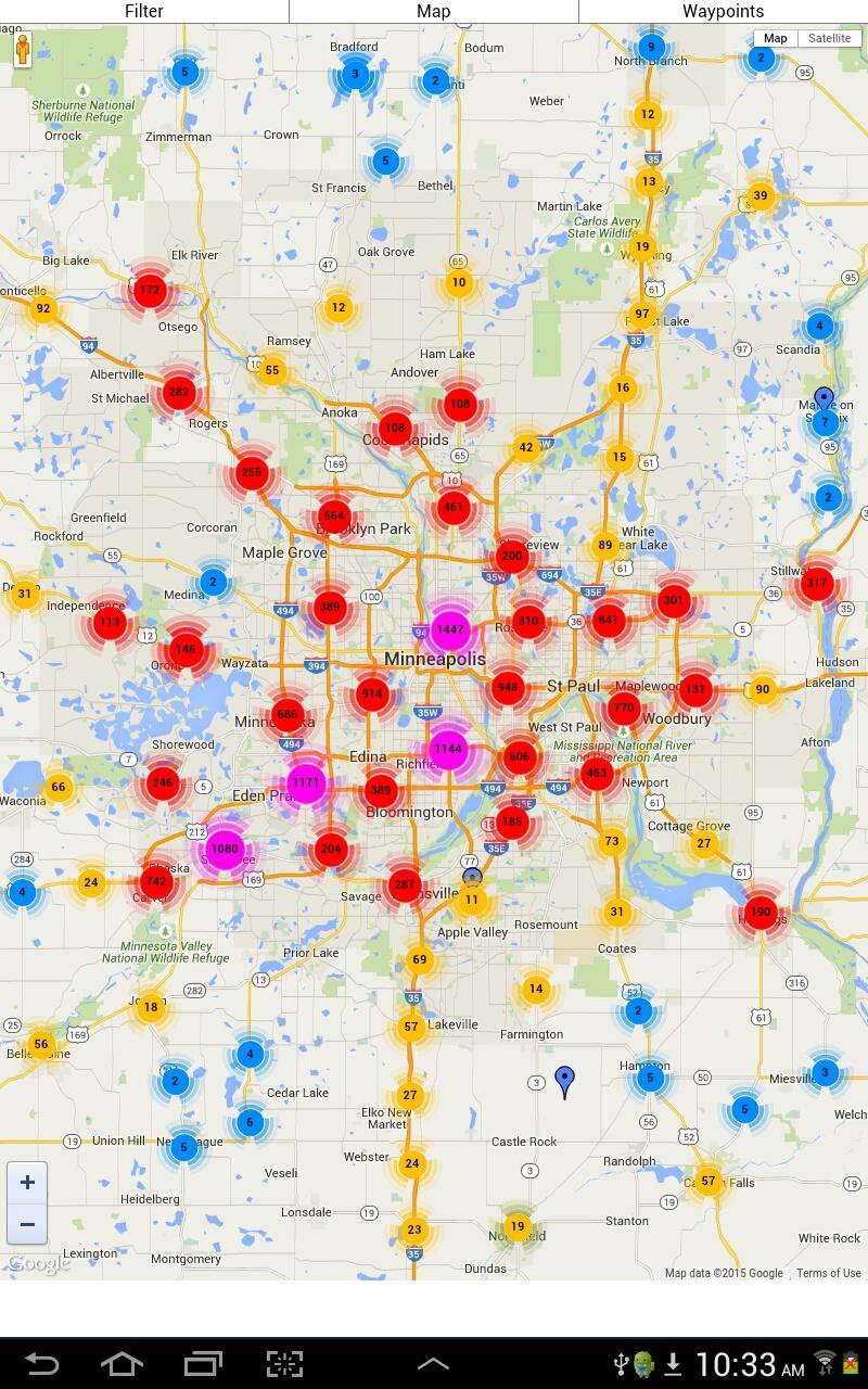
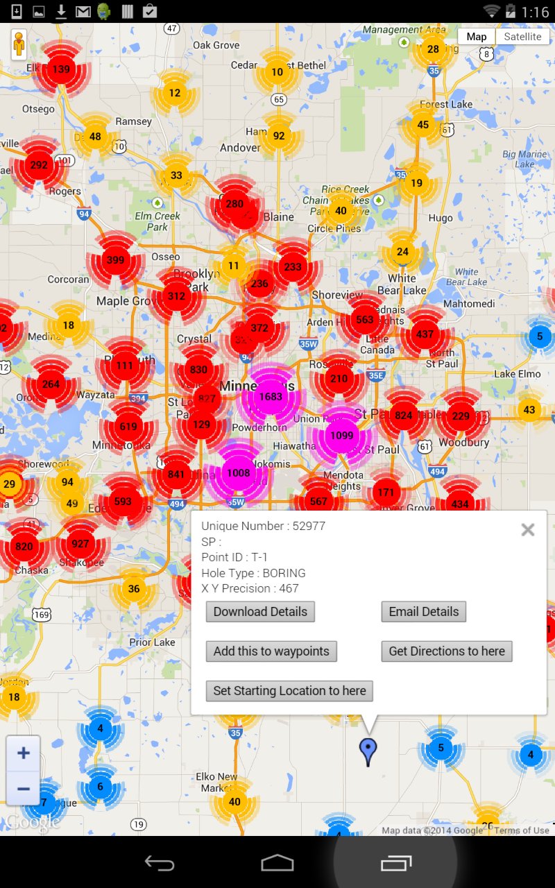
Una aplicación que muestra MnDOT llevaba agujeros en un mapa.
An App that displays bore holes maintained by the Minnesota Department of transportation (MnDot) on a map. Users can click on individual bore hole icons and receive information regarding the bore holes in the form of a .pdf file. Not all bore holes have associated .pdf files. Users can also email the .pdf file to an associate. Users can also set a starting point and up to 8 waypoints. A route can be plotted from the starting point through the waypoints. The default starting point is the user's location as determined by GPS. If the user's GPS location cannot be determined then the user can set a starting point at the current bore hole