Use APKPure App
Get OSDI old version APK for Android
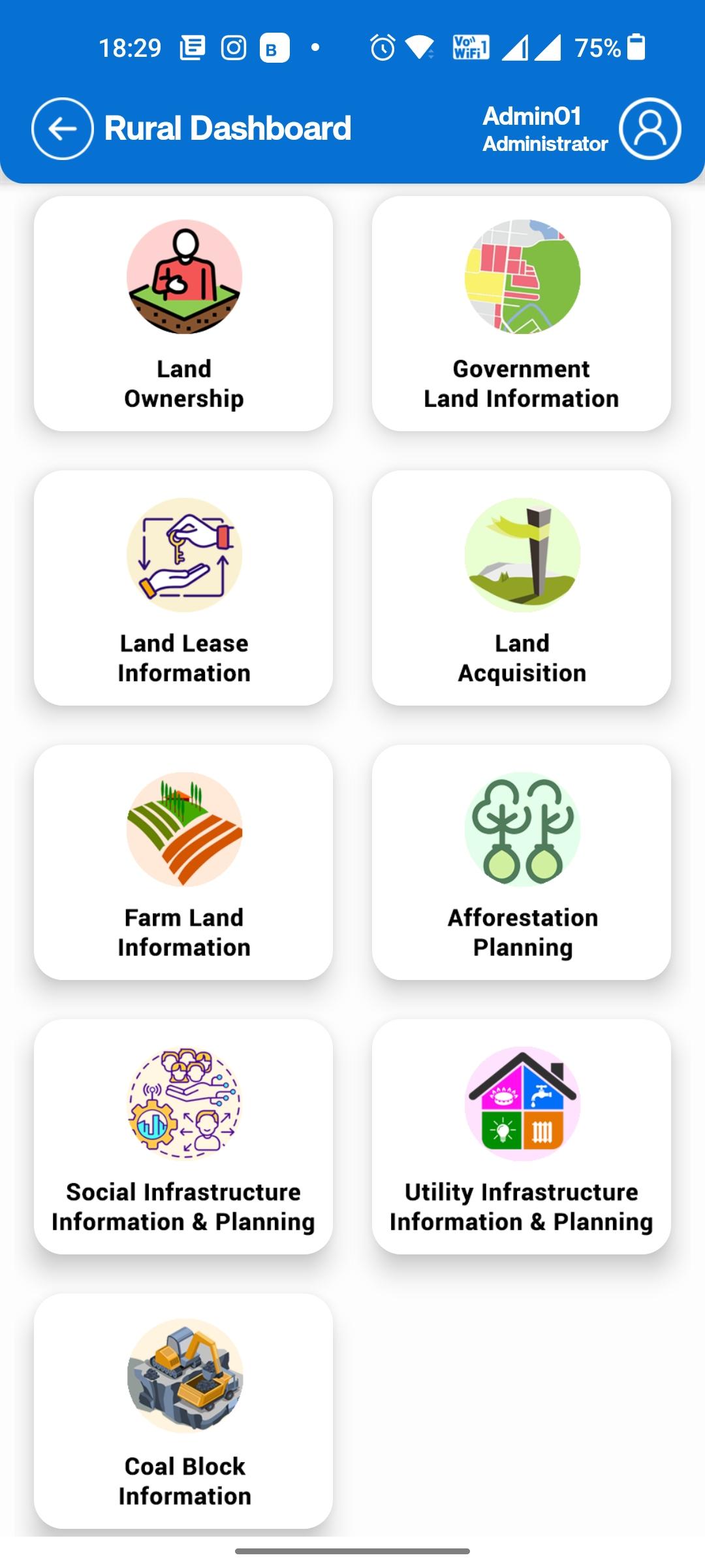
Odisha Spatial Data Infrastructure for various governmental department uses
Welcome to the Odisha Spatial Data Infrastructure (OSDI). OSDI operates on a Geo Spatial repository of data layers comprising of administrative boundaries, street centre lines, land-use, hydrology, forestry, cadastral and many others.
The information on Geospatial infrastructure produced or facilitate by OSDI will be providing Open Geospatial Consortium (OGC) services in 2D & 3D data formats, the Urban & Rural areas using OSDI framework. The portal will disseminate precise and accurate Base Data with sub-meter of such as ortho- images and Digital Elevation Model (DEM) / Digital Surface Mode (DSM), etc.
Ultima versione
![]() 1.7
1.7
È necessario Android
5.0
Available on
![]()
Categoria
Segnala
Last updated on Apr 6, 2024
Minor bug fixes and improvements. Install or update to the newest version to check it out!


Discover what you want easier, faster and safer.


OSDI
1.7 by ORSAC GEO ICT
Apr 6, 2024