Muat turun APK Selamat & Cepat di APKPure
APKPure menggunakan pengesahan tandatangan untuk memastikan muat turun APK OSDI tanpa virus untuk anda.
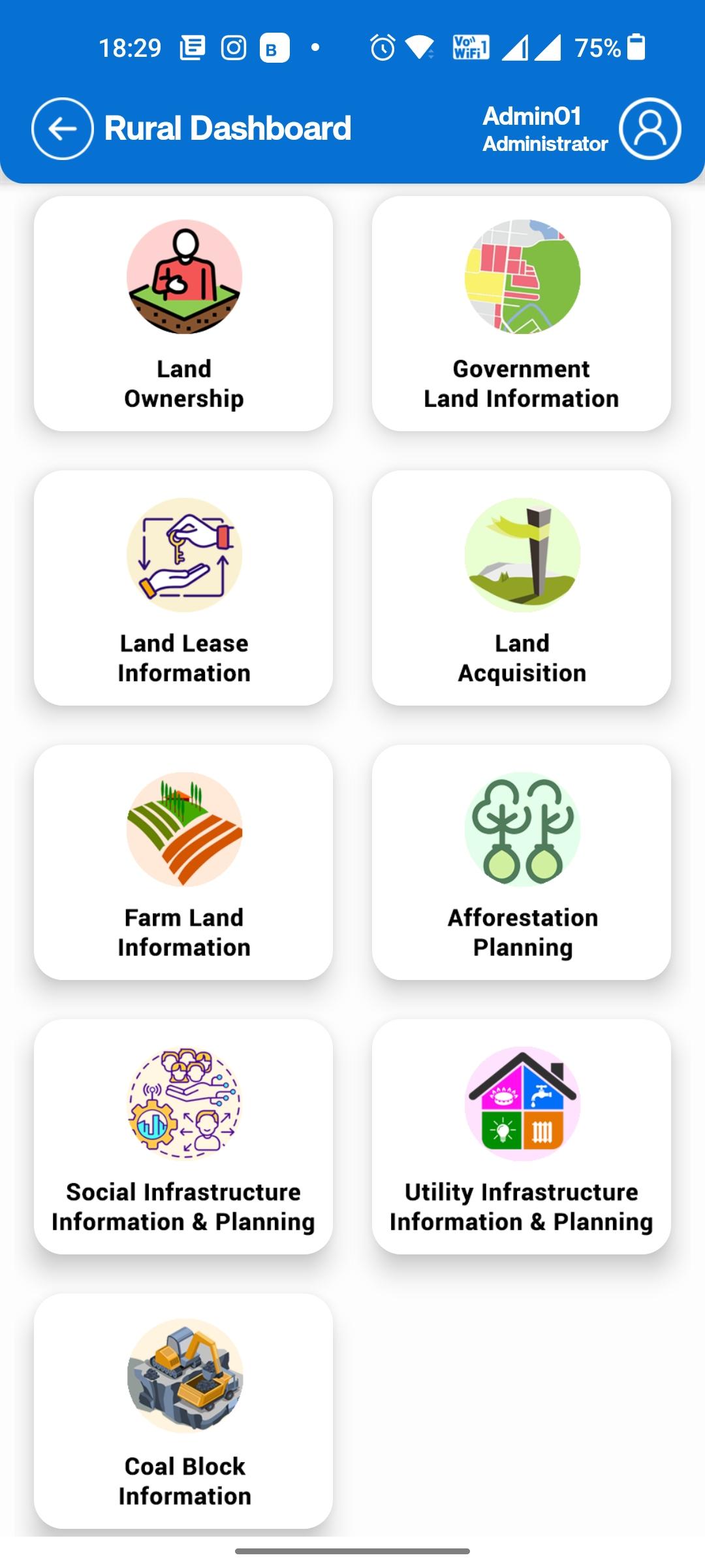
Odisha Spatial Data Infrastructure for various governmental department uses
Welcome to the Odisha Spatial Data Infrastructure (OSDI). OSDI operates on a Geo Spatial repository of data layers comprising of administrative boundaries, street centre lines, land-use, hydrology, forestry, cadastral and many others.
The information on Geospatial infrastructure produced or facilitate by OSDI will be providing Open Geospatial Consortium (OGC) services in 2D & 3D data formats, the Urban & Rural areas using OSDI framework. The portal will disseminate precise and accurate Base Data with sub-meter of such as ortho- images and Digital Elevation Model (DEM) / Digital Surface Mode (DSM), etc.


Satu klik untuk memasang fail XAPK/APK pada Android!
Terima kasih atas penilaian dan maklum balas anda!
Anda sudah dinilai.