APKPure에서 안전하고 빠른 APK 다운로드
APKPure는 바이러스 없는 Elevation Profile APK 다운로드를 위해 서명 확인을 사용합니다.
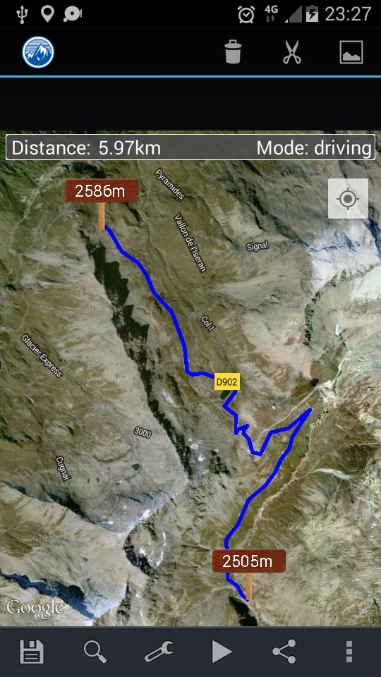
Get the elevation profile of the path!
This application shows the elevation profile of the path.
Create the path by tapping the map. Different modes of path creating are available: direct, driving, walking and bicycling. Direct mode draws straight lines between points. Driving, walking and bicycling modes are able to find and follow roads between points. Driving mode finds routes using the roads network. Walking mode uses pedestrian paths and sidewalks (where available). Bicycle mode uses bicycle tracks and preferred streets (this is currently available only in US). Every point shows altitude in preferred unit. Distance between first and last point is shown on the top of the screen.
Get the elevation profile chart of the path or the track by pressing the button 'Profile'.
It is possible to get your current location. It is also possible to save and load routes.
Ideal for hikers and bikers to assess the level of difficulty of the terrain before actually going out. Internet access is required. Choose between metric and imperial distance units.
For feedback and support send email to [email protected]
Please report bugs if found. Improvement suggestions are welcomed.
Use this application only for informational purposes. Do not use it for making important decisions.


등급과 피드백에 감사드립니다!
당신은 이미 평가했습니다.