APKPure에서 안전하고 빠른 APK 다운로드
APKPure는 바이러스 없는 Live Maps GPS APK 다운로드를 위해 서명 확인을 사용합니다.
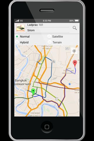
Live Maps GPS is mobile mapping service provided street maps, and Street View
Live Maps GPS is mobile mapping service application and technology provided offering satellite imagery, street maps, and Street View perspectives, as well as functions such as a route planner for traveling by foot, car, bicycle or with public transportation. Live MAPS locator for urban businesses and other organizations in numerous countries around the world.
One of the neat features of Google Maps / Google Earth is the ability to get a street view of many urban and suburban areas. The street view is an actual photograph shot with an Immersive Media camera that delivers a 360 degree image of the surroundings.
Street View - Walk Down Your Street With Google Maps
We all love their traffic alerts, but how exactly does GoogleMaps know how clogged the highway is on your way out of town this weekend?
Features,
• Get Latitude From Google Maps
• Use Coordinates in Live Maps
• Find Latitudes & Longitudes for Multiple Addresses
• Convert Google Maps Coordinates

등급과 피드백에 감사드립니다!
당신은 이미 평가했습니다.