APKPure에서 안전하고 빠른 APK 다운로드
APKPure는 바이러스 없는 Oxygis APK 다운로드를 위해 서명 확인을 사용합니다.
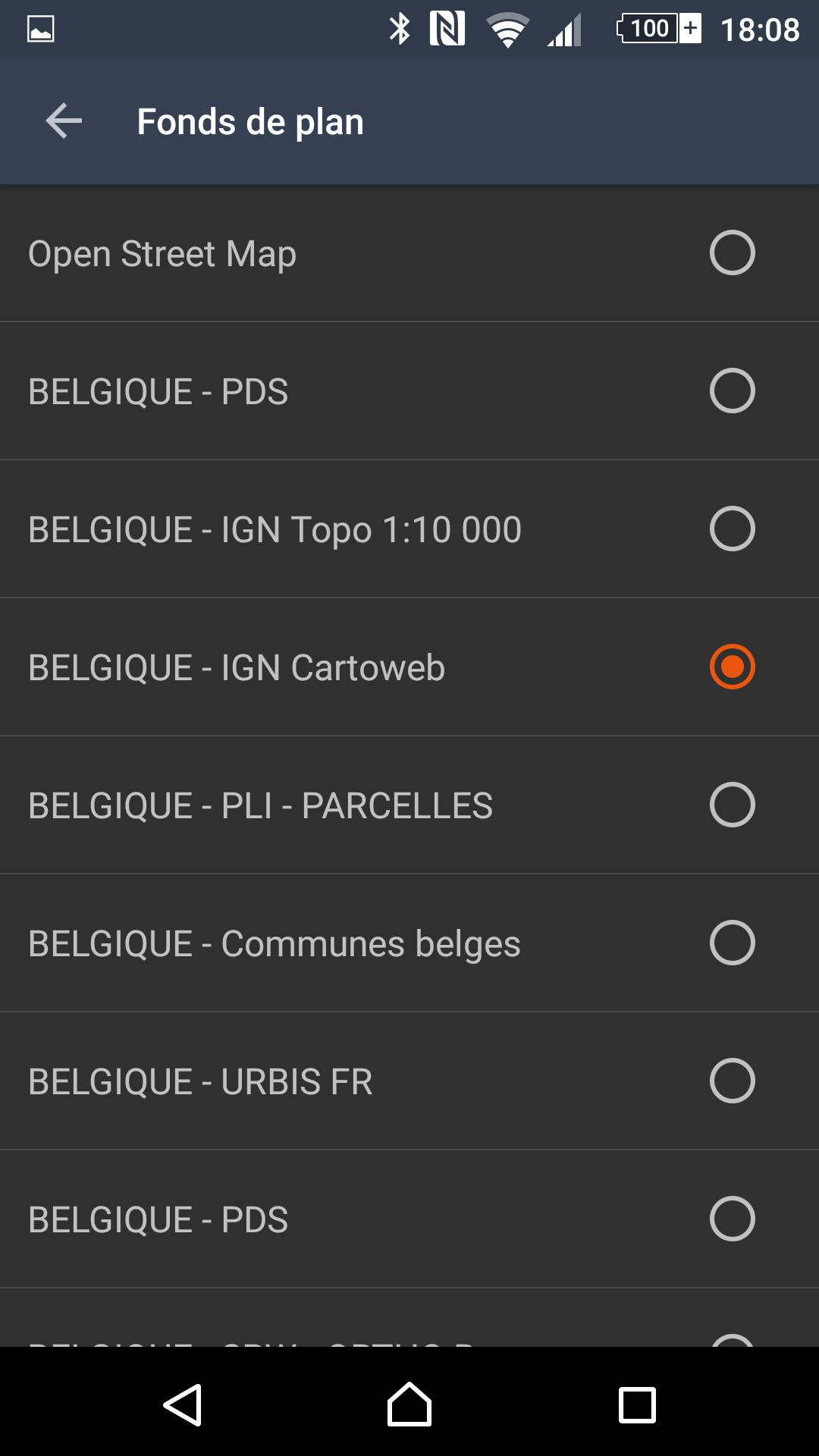
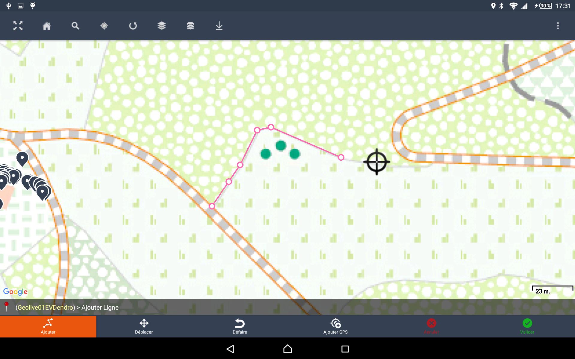
지도 제작 정보 캡처 소프트웨어 분야
Just as much as you will need smart, connected devices, you will need smart and connected maps, to better manage the lifecycle of your assets.
Today maps are timidly used as a geolocation display. Tomorrow you will use them as both a cockpit and control tower of your day-to-day operations.
While we believe large enterprise software solutions are necessary data gate-keepers, our mission is to complete your IT arsenal with a better interface that empowers operational and decision-making users.
Our vision involves a future where your operational asset big data requires smart, connected applications to enable greater business value and reduced exploitation costs.
Oxygis is :
- Your go-to application for smart asset management
- Your trusted advisor for integrated IOT-Big Data projects related to connected asset maintenance and smart predictive maintenance projects
Our technology partners include: LPWAN network services providers, industrial sensor suppliers, predictive analytics solutions, plant logistics optimization and immersive 3D modelling solutions.
Oxygis enables the swift integration of one or more of these solutions into the right technology architecture, the right business model, for your business needs.
Our expertise lies in 10+ years of providing geo management solutions to fixed and critical asset owners, installation & maintenance subcontractors.
Powered by Sityzen.


등급과 피드백에 감사드립니다!
당신은 이미 평가했습니다.