Use APKPure App
Get 地図マピオン old version APK for Android
Detailed listings of buildings, station exits, bus stops, etc. Area boundaries and color coding are also convenient. You can tap between two points to get a straight line distance, or use a circle to get a sense of distance.
■ Know the distance
You can tap between two points on the map to measure a straight line distance, or use a circle that can be resized to get a sense of distance .
■ As a disaster prevention measure
You can see the "above sea level (elevation)" of the current location and the point where the map is displayed for the whole country.
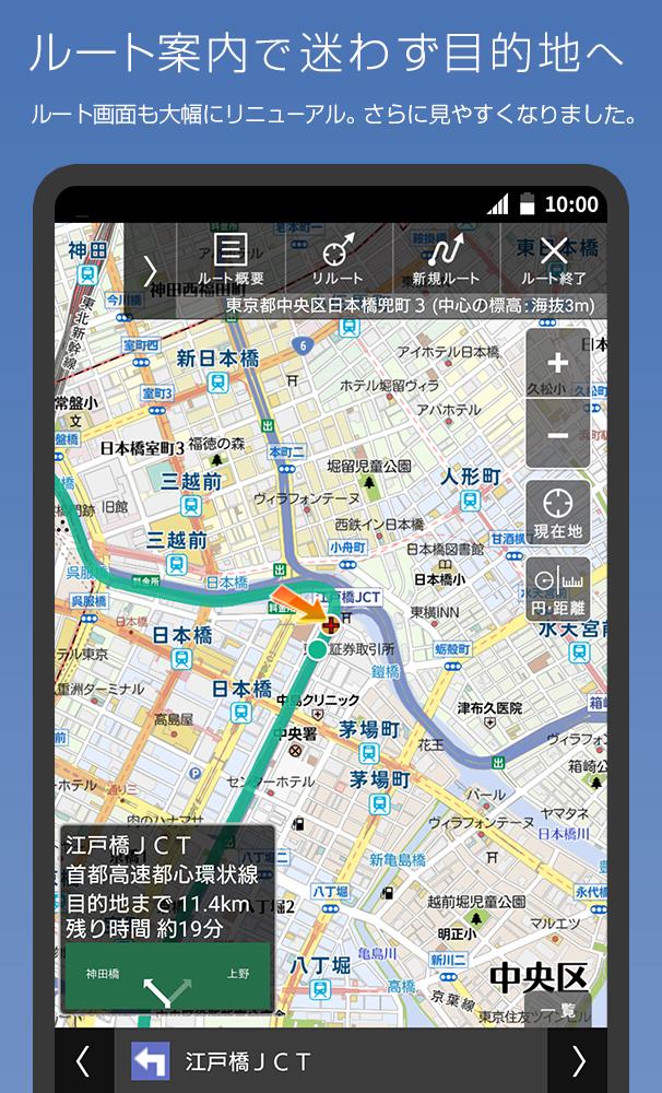
■ Map code indispensable for car navigation
The map code (*) is very convenient for setting the destination of the car navigation system.
Tap and hold the map on the Mapion app and tap the address to display the map code.
■ The boundaries are interesting
The "boundary line" of cities, wards, towns and villages and large letters and town chomes is clearly drawn.
Check the boundary with the neighboring town and train your sense of land.
■ I want to move comfortably! We respond to such requests
We support you to move easily when you move on foot, such as "many roofs" and "fewer stairs".
■ Beautiful graphics
Mapion won the Good Design Award as an easy-to-understand map.
While highlighting necessary information such as station exits, detailed information is also posted, and the color coding of each city in the administrative world (city, ward, town, village, town Oaza, chome) and beautiful graphics like a paper map are applied. You can experience it at.
You can switch to a vector-based map, which also supports rotation and bird views. Bird view mode is a 3D representation at fine scale.
By remembering the "color" of roads and buildings, it becomes easier to understand the characteristics of the city, such as what kind of facilities are in what area, or what kind of city is the area where buildings of the same color are gathered. increase.
#road
Blue-purple ... highway
Orange ... National highway
Yellow: Major local roads such as prefectural roads
White ... general road
Ash ... Mountain trail, beast trail
#building
Blue-green ... Accommodation
Orange ・ ・ ・ Commercial facility
Purple ・ ・ ・ Leisure facility
Tea ... school
Red brown ... public facilities
Red ... hospital
Zhu ・ ・ ・ Station
■ Recommended terminal
Please use it on Android 5.1 or above. It may not work properly on some models.
■ Operating company
The "Mapion" and "Map Mapion" apps are services operated by ONE COMPATH Co., Ltd.
[Precautions]
This service uses the map function of Mapbox. Your location information will be sent anonymously and used to improve map functionality in accordance with the company's privacy policy. If you change your location information acquisition settings, " handling of personal information in the app You can opt out on the "About " page.
ONE COMPATH Co., Ltd. Handling of personal information
ONE COMPATH Co., Ltd. Terms of Use
* "Mapcode" and "MAPCODE" are registered trademarks of DENSO CORPORATION.
Last updated on Jun 6, 2024
軽微な修正を行いました。
Latest Version
![]() 5.0.18
5.0.18
Uploaded by
Bắc Tý Diễn
Requires Android
Android 5.1+
Available on
![]()
Category
Report


Discover what you want easier, faster and safer.

地図マピオン
距離計測、海抜表示、マップコード表示も便利5.0.18 by ONE COMPATH CO., LTD.
Jun 6, 2024