Safe & Fast APK Downloads on APKPure
APKPure uses signature verification to ensure virus-free Altituderando : rando & cartes APK downloads for you.
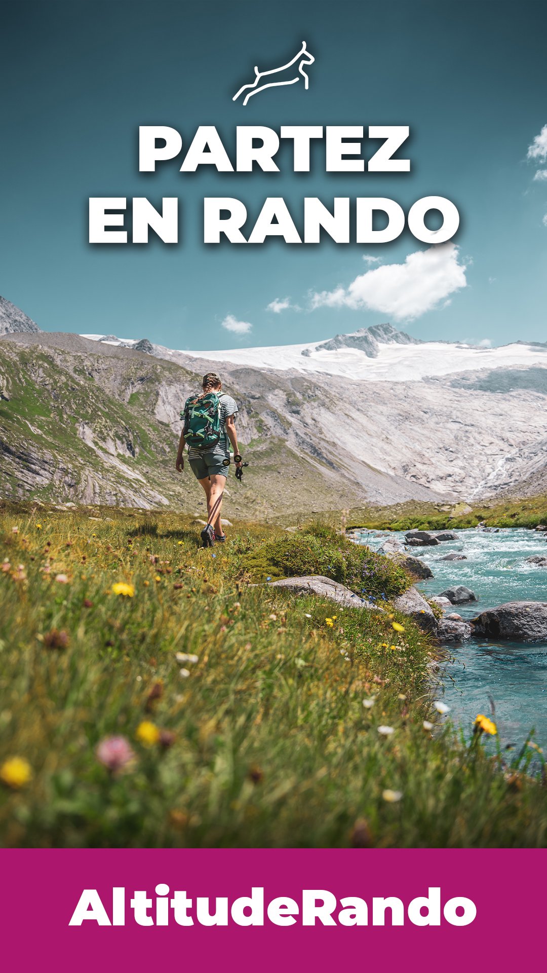
Find your next hike, download the maps and locate yourself!
The Altituderando application will follow you everywhere, allow you to plan your hikes and guide you throughout your journey. In the program :
📌 FIND YOUR NEXT HIKE
On Altituderando, you can choose from more than 9,000 hiking routes of varying duration and difficulty, illustrated by more than 600,000 photos. To find your way around, in addition to the general map and the multi-criteria search engine, Altituderando has set up selections of unmissable hikes, by mountain range and difficulty. All routes are checked by moderators: contributors with extensive experience of the site and the mountain. They ensure the quality of the content that is put online throughout the year.
📌 DOWNLOAD TOPOS
Download the Altituderando topos on your smartphone (description of the route, map and route) to have access to them in the field when there is no network. Integrated location function ("You are here")!
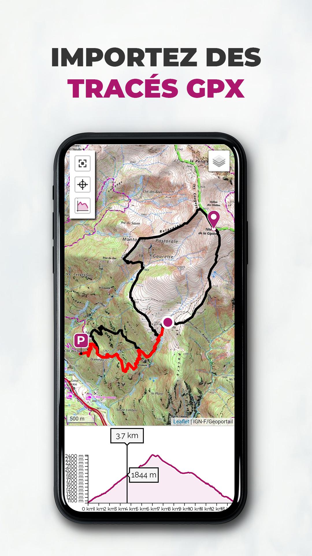
📌 DOWNLOAD MAPS + IMPORT GPX
Download maps (independent of topos) to consult them in offline mode in the field with OSM, IGN-Plan, IGN Classic and IGN TOP25 basemaps. To facilitate the definition of the area to be downloaded, the application offers the rights of way of the IGN maps. Ability to import your GPX tracks on the map. Integrated location function ("You are here")!
📌 OFFLINE CONSULTATION + GPS FUNCTION
Take the topo and the map on your smartphone and geolocate yourself on the route even when there is no network.
📌 FAVORITES
Do you like a hike? Find it easily by adding it to your favorites!
📌 DISCUSSION FORUM
Discuss with other hikers through our discussion forum. Do you have questions about an itinerary? Looking for teammates? Want insight into hiking gear? This space is made for you !
------------------------
👐 PARTICIPATE!
Altituderando is participatory! Back from the hike, talk about your outing and put your photos online. Want to join us ? It will take you just a minute ! You are welcome.
👉 PREMIUM VERSION
The Altituderando application is free. You can search for hiking routes, consult the description and the associated photos, download the GPX, use the discussion forum, share your hikes.
Some features are chargeable, such as the downloading of topos or the downloading of certain base maps for offline consultation. You can manage your subscription from your personal space on Altituderando and activate / deactivate automatic renewal at any time.
If you like Altituderando, subscribing is also a way to support the project. 💗


One-click to install XAPK/APK files on Android!
Thanks for your rating and feedback!
You have already rated.