Safe & Fast APK Downloads on APKPure
APKPure uses signature verification to ensure virus-free mapvwra APK downloads for you.
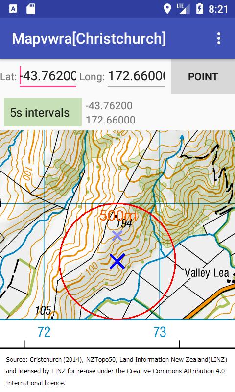
This app displays map images (jpg, png, tiff) in your external storage
This app displays topographic map images in your external storage, along with KANRI.CSV of the Geospatial Information Authority of Japan.
This is basically an UTM viewer. You can display other map images if you make KANRI.CSV in Japan GSI format or Easy format.
[ If you have CD-ROM of topographic map images of Japan GSI ]
(1) Copy map images to a folder of your external storage. This app can display TIFF images.
(2) Your CD-ROM contains a KANRI2K.CSV in the same hierarchy or the upper hierarchy as images. Copy it to the same folder with map images. If your CD-ROM is too old, it contains just a KANRI.CSV using a old geodetic datum. This app can use an old KANRI.CSV, but displays map images with errors of hundreds meters. A converter software is contained in MAPDSP42 that you can download at the website of Japan GSI.
(3) Boot this app, and open the drawer menu -> "Set data folder". And select the folder containing images. Then this app display a map image (if the Lat. and Long. is within the range of map images). If there is many CSV files, you can choose from them in "Set Kanri-File"
[ If you have Online version of Digital Topographic Map of Japan GSI ]
(1) KANRI.CSV affixed to map images may be separately generated to each map image. Then collect up to a KANRI.CSV by a text editor or a spreadsheet. You need the first line containing item names (in Japanese), and add map data below. If you use a spreadsheet, please save as "Comma-Separated Values".
(2) File names of map images may be added with long tags. Please change file names to the first column data in the KANRI.CSV ( same as the fist or second mesh-code of Japan).
(3) This app can display a 504dpi map PNG image (app. 10,000pix x 10,000pix) on 1GB RAM. If Out of Memory, this app reloads the image in half size. But the reload takes a long time (30 seconds for a TIFF image). If the reload fails, an error message appears. Please touch the image to finish forcibly. Usual finishing do not release soon memory.
[ If you want to use maps of different scales or others ]
Samples of Easy format written in ASCII and rough maps are prepared at
https://datum.link/mapvwra/mapvwra.html
https://datum.link/mapvwra/fitting.html
(1) If Long. and Lat. of four corners are assigned, UTM coordinates of 4 corners are used just as "if the length of the diagonal is less than 1.0, the map is Equidistant Cylindrical Projection map". Otherwise If "Central Meridian" column is empty, the central meridian of UTM is calculated from the center of the map. If "Central Meridian" is assigned a longitude, the map is another Transverse Mercator projection (scale factor = 0.9996) or an extension out of normal zone.
(2) If Long. and Lat. of four corners are empty, UTM coordinates and a central meridian are assigned to four corners. (The central meridian is necessary.)
(3) If "Central Meridian"=+200 or -200, UPS maps. If "Central Meridian"=1000, Mercator maps.
[Others]
(1)This app can fill the margin with adjoining maps if the margin and adjoining maps exist. This option needs large memory. Therefore larger map image than 6000x6000 is displayed in half size. The drawing is executed in background, so it may take 30 seconds if with fewer cores.
(2)The direction of the magnetic field can be displayed. The strength of the magnetic field is fitted to the radius of the circle and is projected orthogonally to the display.
The bar reaches the circle if the display is parallel to the magnetic field, or are not drawn if the display is vertical to the magnetic field. The bar may look like perspective, but not correctly perspective. The length of the bar is projected orthogonally.
(3) The strength of the magnetic field is represented by 3 crossed lines to the max.
The inner line represents 22μT (the weakest on the surface of the earth), the third line represents 66μT (the strongest on the surface of the earth), and the middle line represents 44μT. The bar has no mark if less than 22μT.


One-click to install XAPK/APK files on Android!
Thanks for your rating and feedback!
You have already rated.