Safe & Fast APK Downloads on APKPure
APKPure uses signature verification to ensure virus-free MNsight - Lidar and what's bel APK downloads for you.
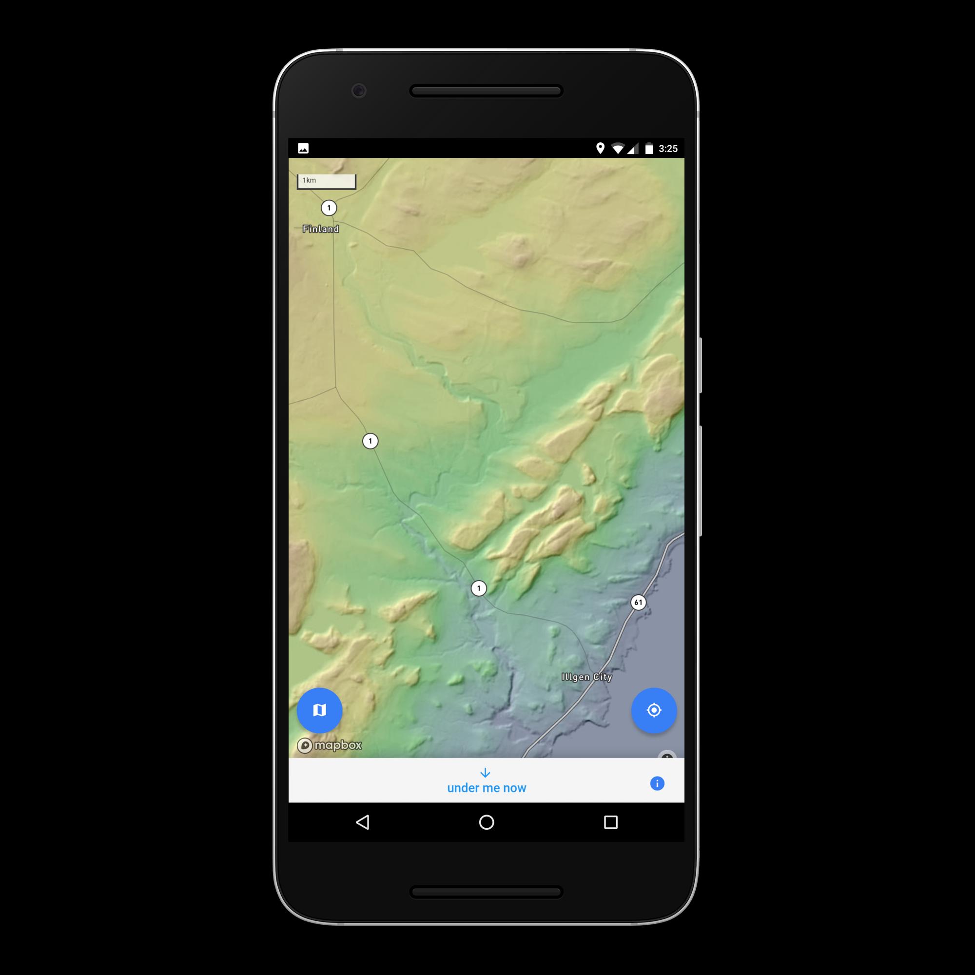
Explore detailed topo maps of Minnesota and find out the geologic history below
Explore the beautiful detail of Minnesota's statewide Lidar topographic dataset, and find out what lies beneath your feet - anywhere in the state.
Tap anywhere on the map within Minnesota to get information about the soil, glacial geology, depth of the bedrock below the land's surface, and the types and ages of the bedrock in that location. Press the 'below me now' button to instantly get the above information about your current GPS determined location.


One-click to install XAPK/APK files on Android!
Thanks for your rating and feedback!
You have already rated.