Use APKPure App
Get VFR NAVIGATO old version APK for Android
Air Traffic Headquarters - Light Aircraft Navigation
[Notice]
The pilot is responsible for all visual flights.
All information provided by this VFR Navigato app is for your reference only.
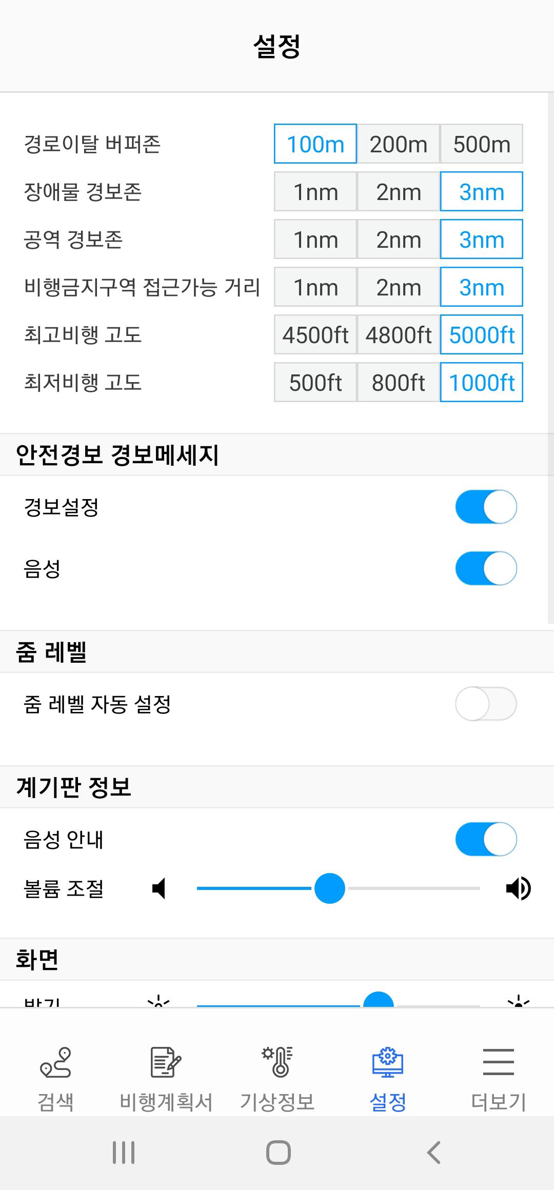
Before making a visual flight, please check all information such as airspace conditions, weather conditions, obstacle conditions, and flight path conditions in advance before flying safely.
Again, the pilot is responsible for all responsibility arising from VFR flight.
※ In order to use VFR NAVIGATO, the permission below is required. Each permission is a required permission to use the navigation system, and you cannot use the service unless you agree to the permission of the required access permission.
1. Required access rights
1) Location: Access is required for current location, weather information, and guidance during flight.
2) Storage space: Required for saving map data and resources.
[VFR Navigato App Information]
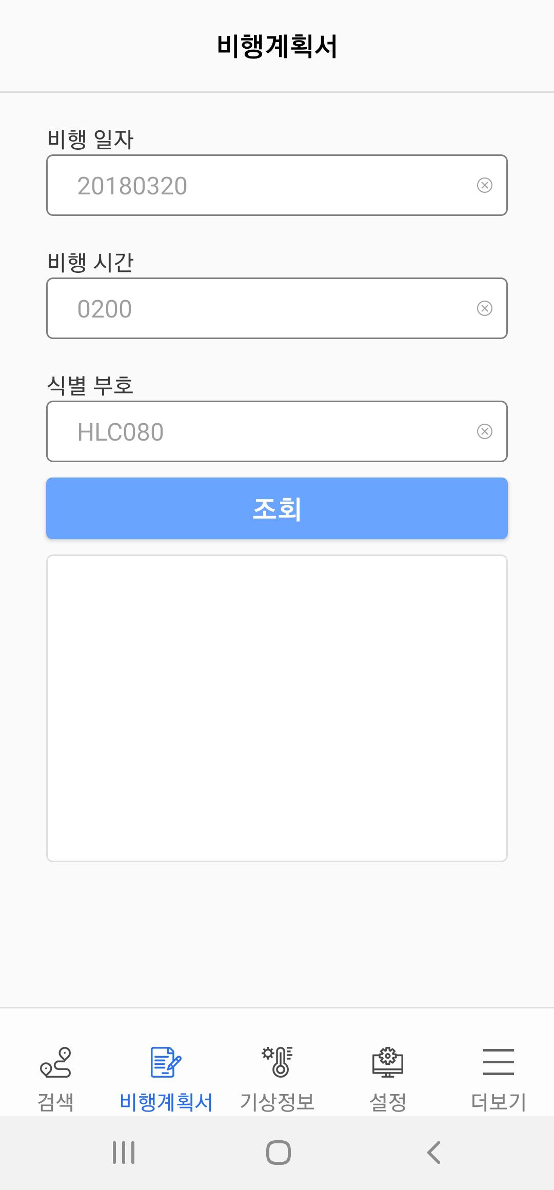
It is a flight navigation app that can support safe flight by providing flight location, flight plan (to be provided in the second half of 20), obstacles, and weather information to pilots of watch aircraft such as lightweight aircraft during flight.
As the main function
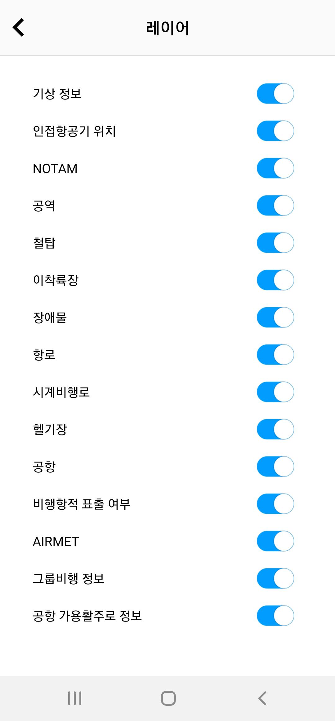
Even without a flight plan, we receive information about surroundings within a specific area and support safe flight.
You can check track information during flight on the map, so you can see the set route and the route you have traveled at a glance.
It provides detailed real-time on-time and measurement station weather information.
By providing the latest POI information, it is possible to quickly search for the desired flight location.
All necessary detailed on-time and always-on NOTAM information can be received in real time, providing an optimized safe flight guide.
Query the status of the submitted flight plan. Just select an approved flight plan and set the route, and you're ready to fly.
It provides civil/military information and upper/lower limit information.
Airport code/airport frequency/tower frequency information.
It provides information on the approximate location of the steel tower, altitude above sea level, and structures over 100m.
You can check the location information of national departure and landing sites on the map.
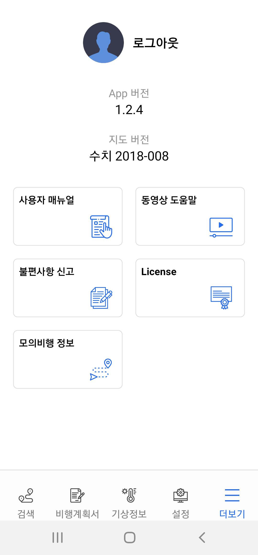
If you give us your opinion for improvement, we will reflect it.
Last updated on Feb 22, 2024
[v1.3.1 주요 업데이트 내용]
1. Android 13 버전 호환성 작업
2. 최근 검색 기록 추가
3. 유사어 검색 기능 강화
4. 출발지<->도착지 간 경로 전환 기능 추가
5. 지도 최신화
Latest Version
![]() 1.3.1
1.3.1
Uploaded by
Ahmed Saif
Requires Android
Android 6.0+
Available on
![]()
Category
Report


Discover what you want easier, faster and safer.

VFR NAVIGATO
1.3.1 by 국토교통부 항공교통본부
Feb 22, 2024