Safe & Fast APK Downloads on APKPure
APKPure uses signature verification to ensure virus-free BANBEIS GIS Survey APK downloads for you.
Mobile Data Collection for Institutions
BANBEIS GIS Survey (ODK Based) is a Data collection Apps.
BANBEIS GIS Survey provides a way to collect survey based information and geo-referenced information for Institutions.
BANBEIS GIS Survey is a replacement for paper forms.
BANBEIS GIS Survey Collects information geo-locations, images and other Information of Institutions.
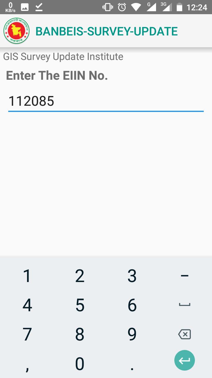
BANBEIS GIS Survey is designed to both New (Survey New) and Existing (Survey Update) Institutions.
BANBEIS GIS Survey works on online/offline.
BANBEIS GIS Survey is designed to work out of touch with a cellular network / Wi-Fi during the data collection effort.Once back in the network coverage, the completed forms can be copied out of the device or sent to a server.
Go to www.banbeis.gov.bd for more information.


One-click to install XAPK/APK files on Android!
Thanks for your rating and feedback!
You have already rated.