Safe & Fast APK Downloads on APKPure
APKPure uses signature verification to ensure virus-free St. Clair Health - Wayfinding APK downloads for you.
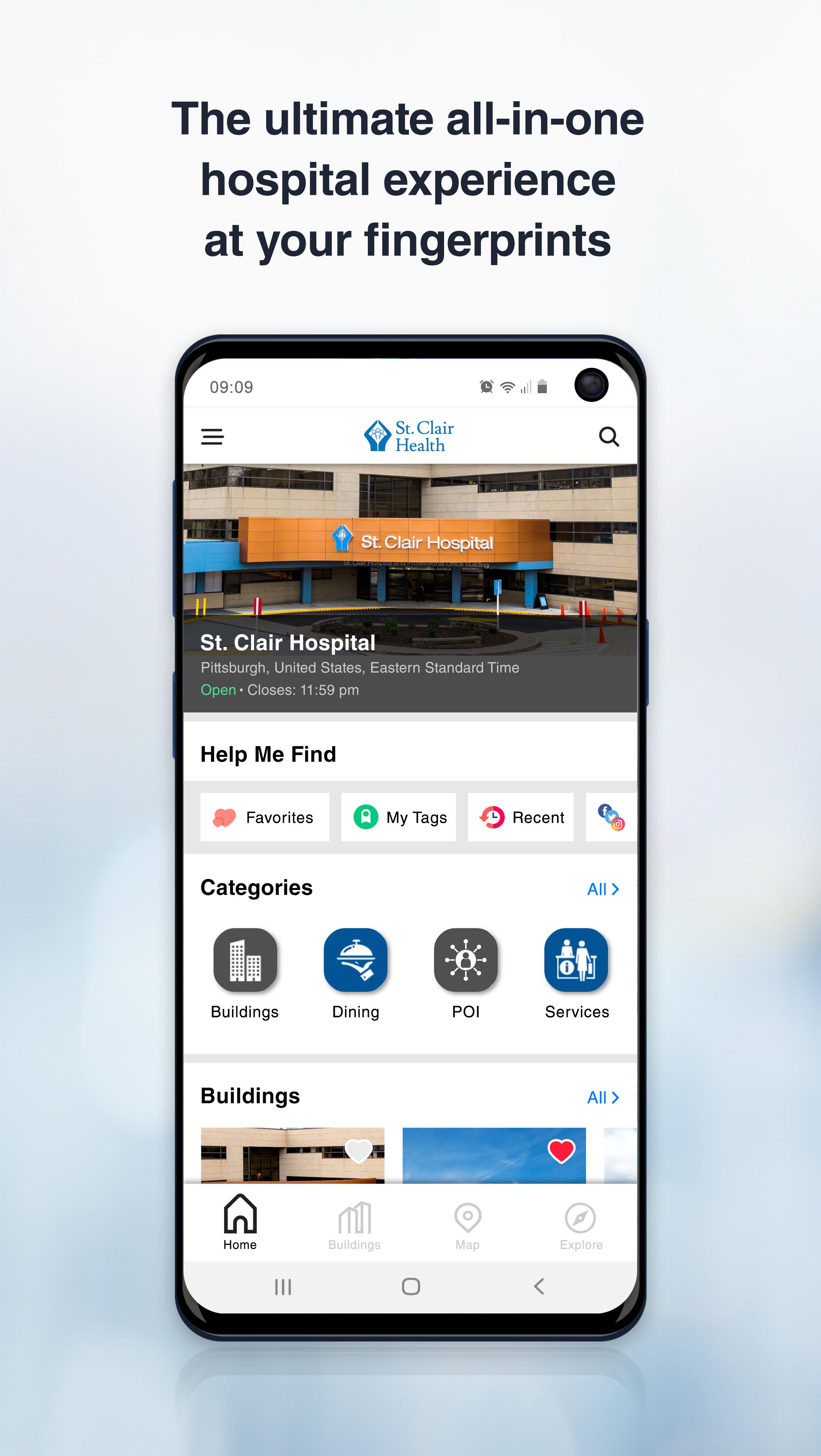
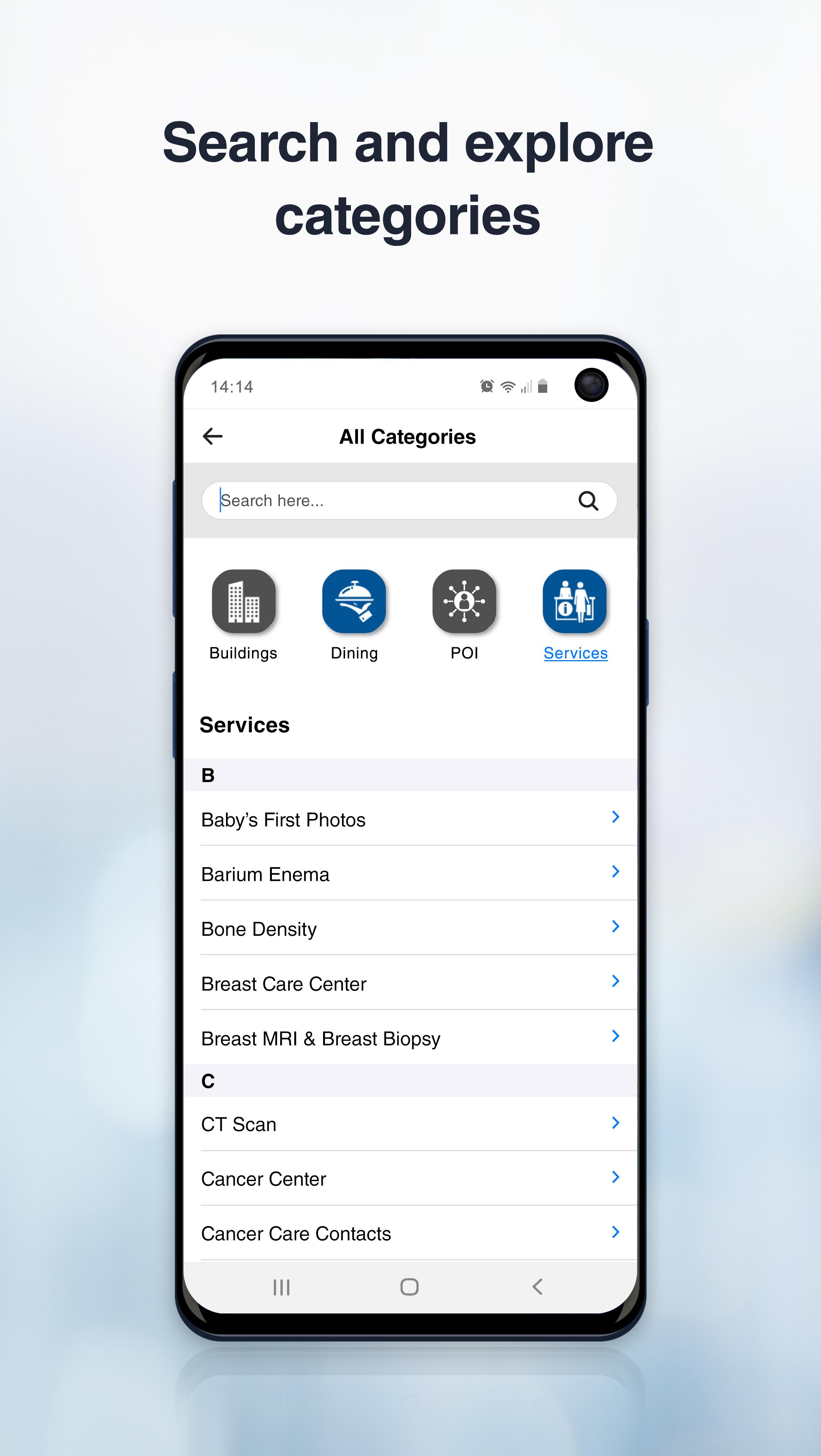
Navigate throughout Bower Hill campus including buildings and parking garages.
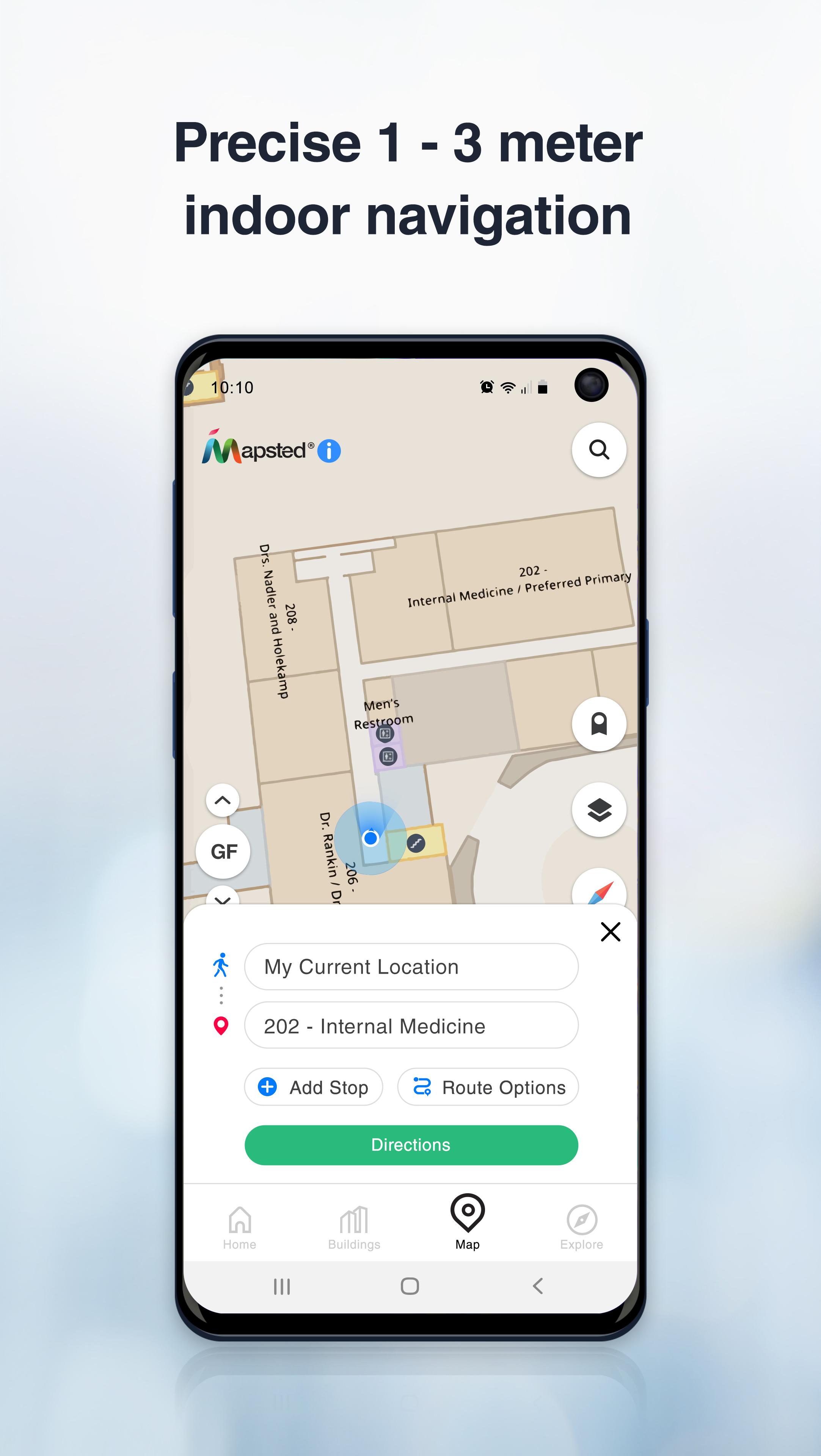
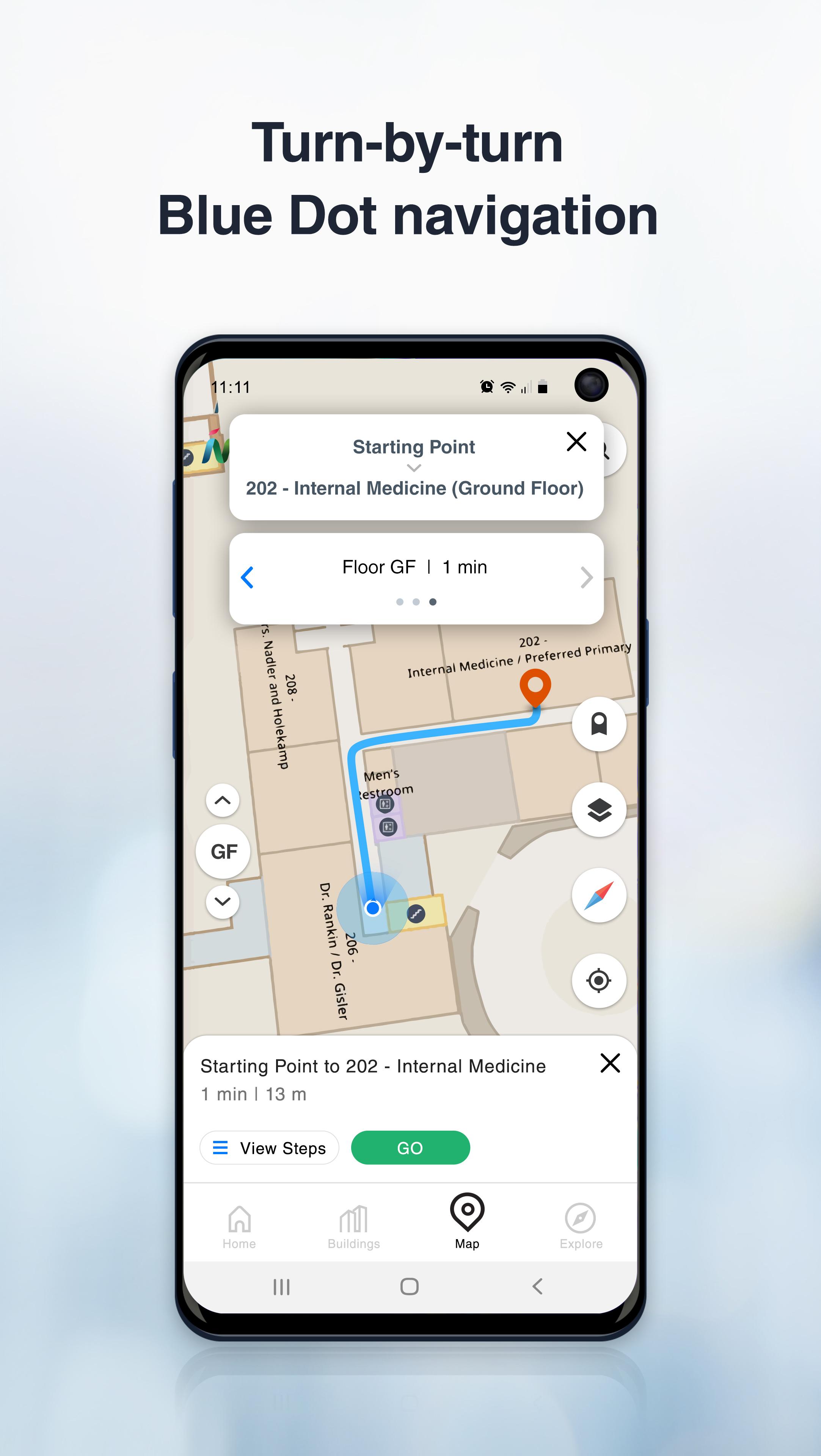
The St. Clair Health Wayfinding digital application will provide step-by-step directions throughout the campus. Users may view the indoor maps, search for a specific department or service and navigate to a selected destination. The “Blue Dot” representing the user’s current location helps guide them from their point of origin to their destination.
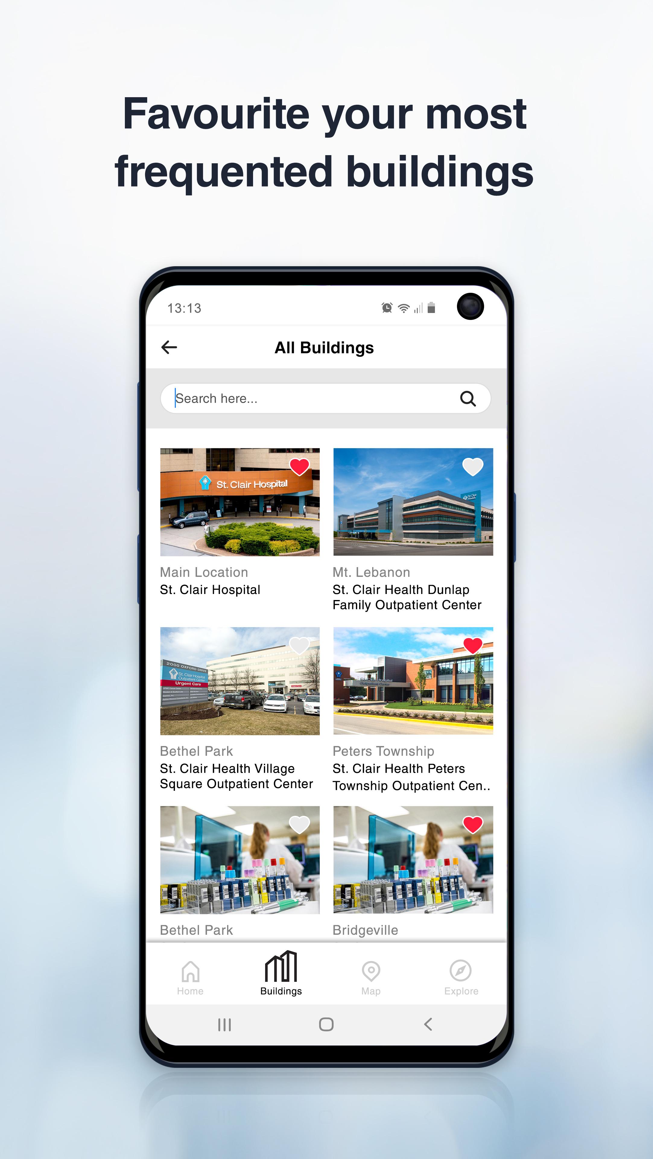
The Wayfinding application will be valuable regardless of whether the user is heading to St. Clair Hospital, the Dunlap Family Outpatient Center or the Professional Office Building or simply trying to decide where to park. Users may save their parked car location to return to their car after their visit.
The app works on-site but also allows users to do a virtual walk-thru before arrival.

One-click to install XAPK/APK files on Android!
Thanks for your rating and feedback!
You have already rated.