Package Name:com.topcon.coordynavi
Show More

App for Topcon manual total station, navigating digital stake-out workflows
Build layout confidence. Even if you’re not an expert.
CoordyNavi is a field stake-out / layout app designed to make construction surveying simple, visual, and reliable — even for less experienced operators.
In many construction sites, stake-out quality still depends on a small number of expert surveyors. CoordyNavi changes that.
By guiding Instrument Operators and Rodmen step by step, the app allows anyone to perform accurate stake-out work without hesitation, even when the chief surveyor is not on site.
▶ Designed for beginners. Trusted by professionals.
CoordyNavi turns complex stake-out procedures into an easy-to-follow workflow with clear on-screen guidance.
Operators no longer need to rely on paper drawings, calculators, or trial-and-error.
Anyone can stake out confidently, even with limited experience
Rodmen can see the screen and reach stake-out points faster
Clear visual guidance reduces mistakes and rework
▶ See everything. Prevent mistakes before they happen.
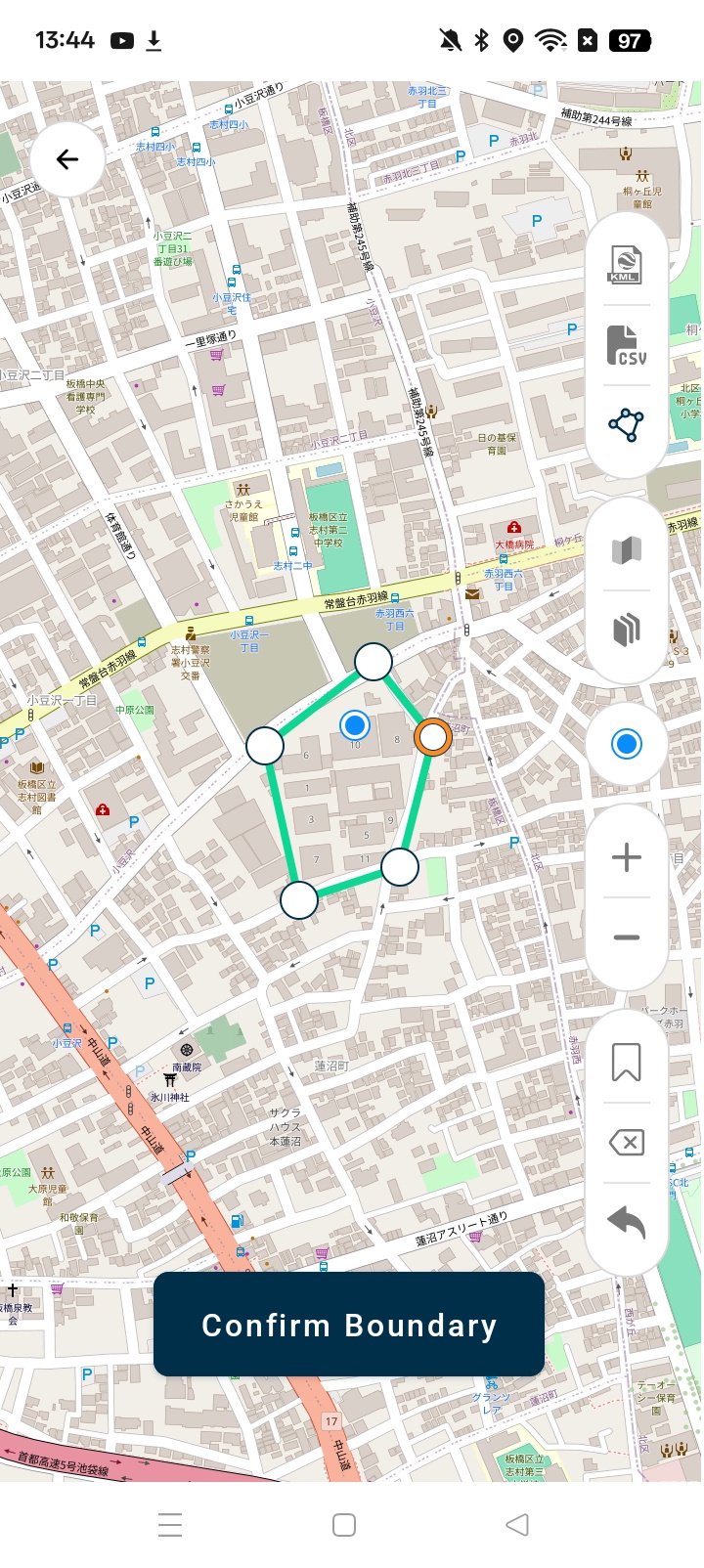
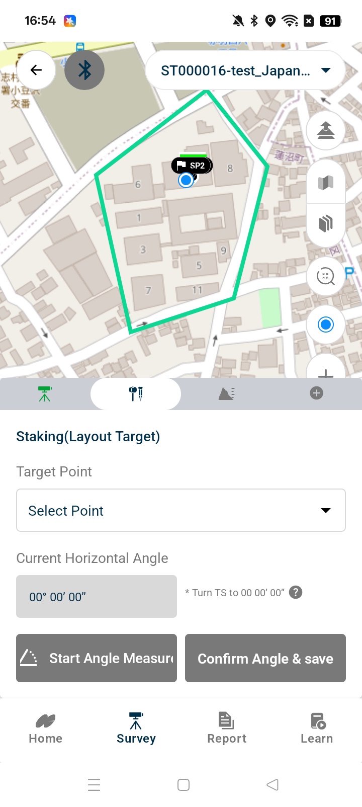
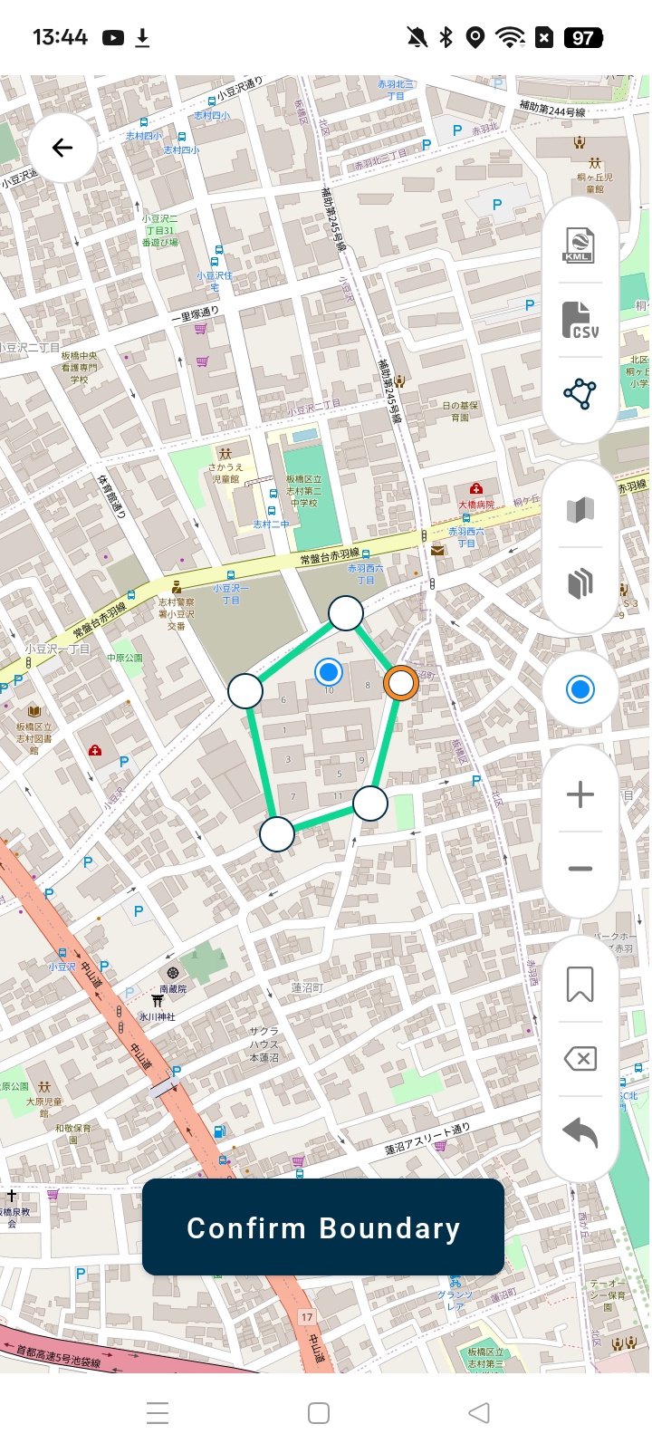
CoordyNavi overlays maps, drawings, points, and current position in one intuitive view.
Digital maps + site data + live position on one screen
Easy visual checks help prevent layout errors
Stake-out progress is shown by color, so the whole team understands the status at a glance
▶ Smart connection. No more USB drives.
Bluetooth connection to selected Topcon / Sokkia manual total stations
No USB flash drives for data transfer
Work offline in the field, sync later when a network is available
▶ Learn while you work.
CoordyNavi also supports skill development:
Built-in learning videos covering manual TS operation and field procedures
Ideal for training junior surveyors and new team members
Reduces dependence on on-site instruction from senior experts
▶ More than stake-out.
Supports auto-level height measurement
→ No paper notes, no calculator work
Progress is saved automatically
Enables daily report generation and progress review in CoordyCAD
▶ Typical use cases
Construction sites still using onboard screens and USB data
Projects where chief surveyors cannot stay on site
Training and upskilling junior surveyors
Teams aiming to standardize field quality and productivity
▶ Key benefits
Reduce stake-out errors and rework
Increase productivity of field teams
Enable consistent quality, regardless of operator experience
Make digital surveying accessible on real-world jobsites
CoordyNavi helps every operator work like a professional.
Simple. Visual. Reliable.






One-click to install XAPK/APK files on Android!

Thanks for your rating and feedback!
You have already rated.